
First ascent Unknown | Elevation 1,019 m | |
 | ||
Location | ||
C. H. Ostenfeld Nunatak is a nunatak in King Christian X Land, East Greenland. Administratively it falls under the Northeast Greenland National Park zone.
Contents
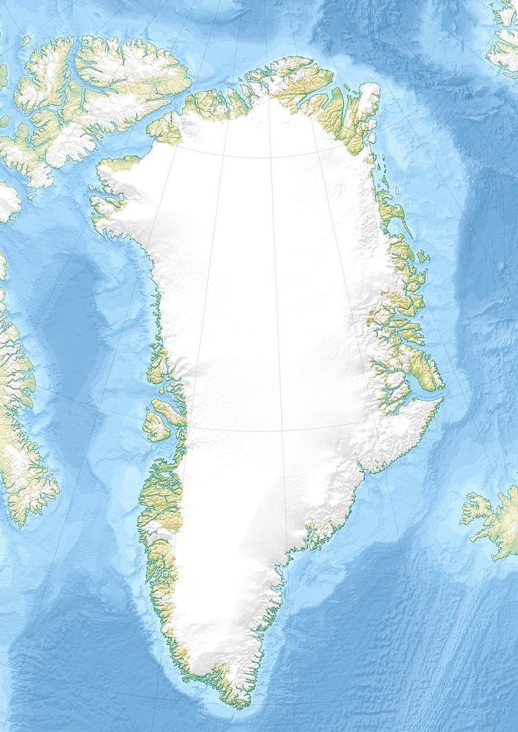
Map of C. H. Ostenfeld Nunatak, Greenland
This geographic feature was named by Lauge Koch during his 1929–30 expeditions after Danish botanist Christian Emil Hansen Ostenfeld (1873–1931), author of ‘Flora of Greenland and its origin’.
Geography
It is a relatively large nunatak located east of Stenoland between the Wordie Glacier and the Granta Glacier. Its northern end lies 9 km to the east of Faraway How's eastern point.
C. H. Ostenfeld Nunatak is 15.7 km in length and its maximum width is 6.4 km; the highest elevation is located at the western end and is 1,019 metres (3,343 ft) high.
References
C. H. Ostenfeld Nunatak Wikipedia(Text) CC BY-SA