
County Plumas FIPS code 06-17267 Elevation 1,461 m Zip code 96135 Area code 530 | Time zone Pacific (PST) (UTC-8) GNIS feature ID 2407682 Area 6.899 km² Population 150 (2010) | |
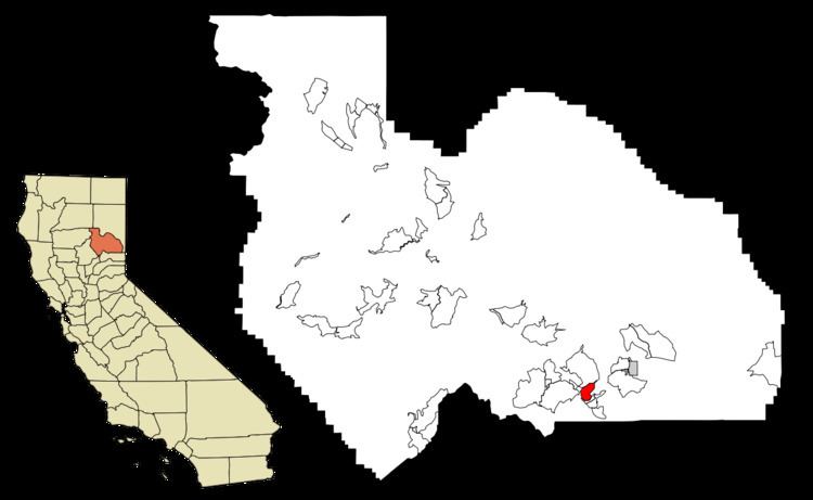 | ||
C-Road is a census-designated place (CDP) in Plumas County, California, United States. The population was 150 at the 2010 census, down from 152 at the 2000 census.
Contents
Map of C-Road, CA 96106, USA
Geography
C-Road is located at 39°45′34″N 120°35′1″W (39.759419, -120.583560).
According to the United States Census Bureau, the CDP has a total area of 2.7 square miles (7.0 km2), all of it land.
2010
The 2010 United States Census reported that C-Road had a population of 150. The population density was 56.3 people per square mile (21.7/km²). The racial makeup of C-Road was 140 (93.3%) White, 0 (0.0%) African American, 0 (0.0%) Native American, 2 (1.3%) Asian, 0 (0.0%) Pacific Islander, 0 (0.0%) from other races, and 8 (5.3%) from two or more races. Hispanic or Latino of any race were 9 persons (6.0%).
The Census reported that 150 people (100% of the population) lived in households, 0 (0%) lived in non-institutionalized group quarters, and 0 (0%) were institutionalized.
There were 73 households, out of which 11 (15.1%) had children under the age of 18 living in them, 49 (67.1%) were opposite-sex married couples living together, 3 (4.1%) had a female householder with no husband present, 2 (2.7%) had a male householder with no wife present. There were 2 (2.7%) unmarried opposite-sex partnerships, and 1 (1.4%) same-sex married couples or partnerships. 17 households (23.3%) were made up of individuals and 4 (5.5%) had someone living alone who was 65 years of age or older. The average household size was 2.05. There were 54 families (74.0% of all households); the average family size was 2.37.
The population was spread out with 17 people (11.3%) under the age of 18, 6 people (4.0%) aged 18 to 24, 25 people (16.7%) aged 25 to 44, 73 people (48.7%) aged 45 to 64, and 29 people (19.3%) who were 65 years of age or older. The median age was 53.3 years. For every 100 females there were 117.4 males. For every 100 females age 18 and over, there were 111.1 males.
There were 102 housing units at an average density of 38.3 per square mile (14.8/km²), of which 65 (89.0%) were owner-occupied, and 8 (11.0%) were occupied by renters. The homeowner vacancy rate was 3.0%; the rental vacancy rate was 0%. 131 people (87.3% of the population) lived in owner-occupied housing units and 19 people (12.7%) lived in rental housing units.
2000
As of the census of 2000, there were 152 people, 61 households, and 50 families residing in the CDP. The population density was 58.3 people per square mile (22.5/km²). There were 79 housing units at an average density of 30.3 per square mile (11.7/km²). The racial makeup of the CDP was 94.08% White, 2.63% Black or African American, 0.66% Native American, 1.97% Asian, and 0.66% from two or more races. 1.32% of the population were Hispanic or Latino of any race.
There were 61 households out of which 31.1% had children under the age of 18 living with them, 67.2% were married couples living together, 4.9% had a female householder with no husband present, and 18.0% were non-families. 16.4% of all households were made up of individuals and 4.9% had someone living alone who was 65 years of age or older. The average household size was 2.49 and the average family size was 2.80.
In the CDP, the population was spread out with 23.0% under the age of 18, 3.3% from 18 to 24, 22.4% from 25 to 44, 39.5% from 45 to 64, and 11.8% who were 65 years of age or older. The median age was 46 years. For every 100 females there were 130.3 males. For every 100 females age 18 and over, there were 129.4 males.
The median income for a household in the CDP was $26,250, and the median income for a family was $51,250. Males had a median income of $51,250 versus $0 for females. The per capita income for the CDP was $18,088. About 27.1% of families and 33.8% of the population were below the poverty line, including 66.7% of those under the age of eighteen and 66.7% of those sixty five or over.
Politics
In the state legislature, C-Road is in the 1st Senate District, represented by Republican Ted Gaines, and the 1st Assembly District, represented by Republican Brian Dahle.
Federally, C-Road is in California's 1st congressional district, represented by Republican Doug LaMalfa.