
- elevation 5,034 ft (1,534 m) Length 92 km Basin area 1,204 km² Country United States of America | - elevation 535 ft (163 m) Basin area 1,204 km² | |
 | ||
Butter Creek is a 57-mile (92 km) long creek in the U.S. state of Oregon. The source of the creek is at an elevation of 5,034 feet (1,534 m) in Umatilla National Forest, while the mouth is at an elevation of 535 feet (163 m) upstream of Hermiston, Oregon. Butter Creek has a 465-square-mile (1,200 km2) watershed, and is a tributary of the Umatilla River.
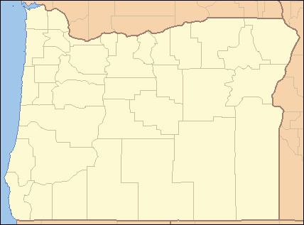
Map of Butter Creek, Oregon, USA
References
Butter Creek (Oregon) Wikipedia(Text) CC BY-SA