
Type Lake Inflow source Butte Creek | Primary inflows Surface elevation 1,845 m | |
 | ||
Location Lassen Volcanic National ParkLassen County, California | ||
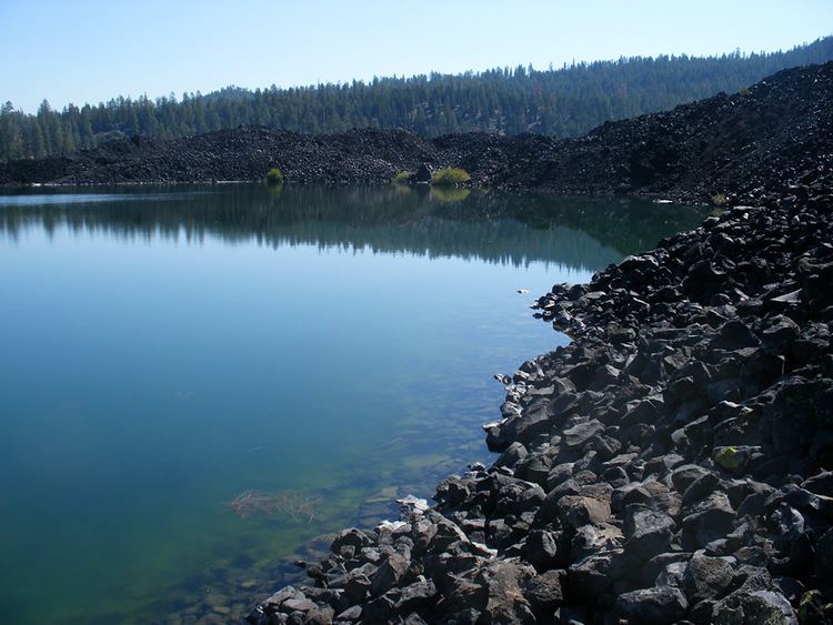
Butte Lake is a lake located in the northeast section of Lassen Volcanic National Park in the U.S. state of California at an elevation of 6,053 ft (1,845 m).
Contents
Map of Butte Lake, California, USA
DescriptionEdit
The irregularly-shaped lake lies at the northern end of Cinder Cone and the Fantastic Lava Beds, which is a complex of lava flows and a cinder cone. Some time in the mid-1770s the lava flow from the Cinder Cone flowed into and around the lake. This formed an underwater lava field. Water from Snag Lake to the south flows through the porous lava field to Butte Lake. Water from Butte Lake drains via Butte Creek, which flows north out of the parkland.
AccessEdit
There is a campground and ranger station located to the west of the lake. Butte Lake is accessible via an unpaved road which branches off from California Route 44. The unpaved road is subject to seasonal closures.