
Time zone EAT (UTC+3) Local time Tuesday 3:34 PM | Elevation 1,080 m | |
 | ||
Weather 28°C, Wind S at 10 km/h, 53% Humidity | ||
Busembatya, sometimes spelled Busembatia, is a town in the Eastern Region of Uganda.
Contents
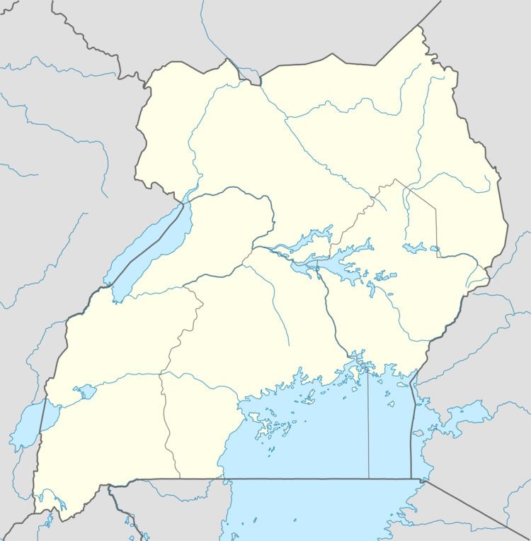
Map of Busembatia, Uganda
Location
Busembatya is located on the northern edge of Iganga District. Its closest neighboring metropolitan area is the town of Namutumba in Namutumba District, a distance of approximately 10 kilometres (6.2 mi), by road, northeast of Busembatya. This location is approximately 66 kilometres (41 mi), by road, northeast of Jinja, the largest city in the Busoga sub-region. The town is located on the main Iganga–Tirinyi–Kamonkoli–Mbale road. The coordinates of the town are 0°46'30.0"N, 33°37'30.0"E (Latitude:0.7750; Longitude:33.6250). Busembatya has an average elevation of 1,110 metres (3,640 ft), above sea level.
Population
The Uganda national census of 2002 counted the population of the town at 11,553. In 2010, the Uganda Bureau of Statistics (UBOS) estimated the population at 15,200. In 2011, UBOS estimated the population at 15,700. The Basoga are the main inhabitants of Busembatya, and the main language spoken is Lusoga, although most people know many other languages including Luganda and English.
History
Busembatya, which sits on a highland surrounded by swamps, is known for rice growing. Busembtya's rice mills served most of Busoga before other areas in the sub-region were connected to the national power grid. As a result, the population growth in Busembatya has gone down.