
Time zone EAT (UTC+3) Area 1,019 km² | Website www.iganga.go.ug Elevation 1,138 m | |
 | ||
Iganga district councillors brawl over accusations of land grabbing
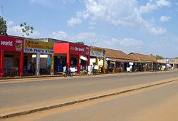
Iganga District is a district in the Eastern Region of Uganda. The town of Iganga is the site of the district headquarters.
Contents
- Iganga district councillors brawl over accusations of land grabbing
- Map of Iganga Uganda
- Location
- Population
- Religion
- References
Map of Iganga, Uganda
Location
Iganga District is bordered by Kaliro District to the north, Namutumba District to the northeast, Bugiri District to the east, Mayuge District to the south, Jinja District to the southwest, and Luuka District to the west. The district headquarters at Iganga are located approximately 44 kilometres (27 mi), by road, northeast of Jinja, the largest city in the Busoga sub-region.
Population
In 1991, the national population census estimated the district population at about 235,300. The 2002 national census estimated the population of the district at about 335,500. The annual population growth rate in the district was estimated at 3.5%. In 2012, the population of Iganga District was estimated at approximately 499,600.
Religion
Iganga District has the highest percentage of Muslims in Uganda.