
Population 11,265 Dialling code 01925 | OS grid reference SJ561928 Local time Tuesday 10:47 AM | |
 | ||
Weather 7°C, Wind SW at 10 km/h, 79% Humidity | ||
Burtonwood raf ww2 airfiield usaaf base depot raf filmed 12th feb 1987
Burtonwood and Westbrook is a civil parish in the outermost suburbs of Warrington, Cheshire, England. The name Burtonwood is known worldwide as the location of the former RAF Station Burtonwood military camp. Burtonwood village itself is a few miles away from the site of the former station. The civil parish also includes Westbrook, which is a council ward and suburb of Warrington. According to the 2001 census, the population of the entire civil parish was 11,265.
Contents
- Burtonwood raf ww2 airfiield usaaf base depot raf filmed 12th feb 1987
- Map of Burtonwood UK
- Burtonwood beer festival 2016 friday
- History
- Brewery
- Facilities
- Transport
- Civil parish
- Population and gender
- Housing
- Council ward
- Population and ethnicity
- References
Map of Burtonwood, UK
Burtonwood beer festival 2016 friday
History
Burtonwood was a chapelry in the ancient parish of Warrington, in the West Derby Hundred of Lancashire. It was later created a civil parish and was part of the Warrington Poor Law Union and then the Warrington Rural District. In 1974 it became part of Warrington District and is now part of the Warrington Unitary Authority. It is still a civil parish (now named Burtonwood and Westbrook) and thus has its own parish council. Burtonwood's population rose from 990 in 1861 to 2,408 in 1911 as the mining and brewing industries grew. The parish population leaped to 8,238 in 1951 due to the Americans with the arrival of the United States Air Force (USAF) personnel but dropped to 4,899 in 1971, before rising to 11,265 today as a result of housing development on the old RAF station site. Nowadays, there is work being done on the station and two of the camps have been knocked down. This is because of the Omega Project.
RAF Burtonwood was mainly used by the United States Air Force between 1942 and closure of the main airfield in 1958 and was the biggest US airbase in Europe.
Brewery
The village is known for its brewery, which brewed the Burtonwood ales. The brewery was founded in 1867, and built up a large estate of pubs. In 1964 Burtonwood Breweries became a public company, but retained its head office in the village. In 1998 the company formed a joint venture with Thomas Hardy Holdings, known as Thomas Hardy Burtonwood. Soon after the company stopped producing Burtonwood-brand beers and was recently contracted to produce Brakspear ales.
Facilities
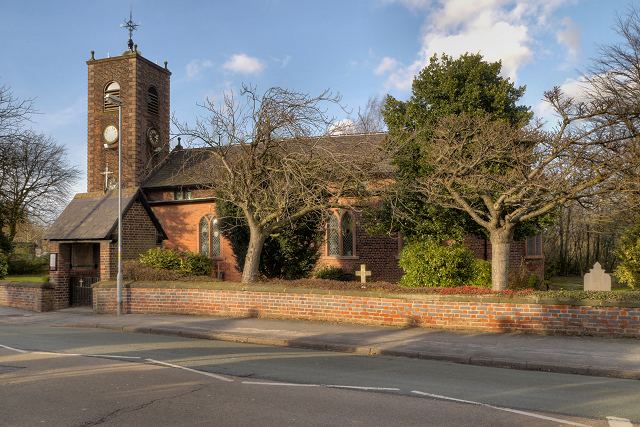
Burtonwood has three public houses, the Chapel House, the Pear Tree and the Fiddle i' th' Bag Inn, three social clubs and three churches, St. Michael's, St. Paul of the Cross and the Methodist church. There are two recreational parks and two primary schools, Burtonwood Community Primary School and St Paul of the Cross Primary School. The village does not have a secondary school or college and the nearest high school is Great Sankey High School, which has a sixth form attached to it. Also St Aelred's Catholic Technology College in nearby Newton-le-Willows which also has a sixth form attached, Hope Academy, also with a sixth form, and Priestley Sixth Form College in Warrington town centre is the nearest specialised sixth form college. Burtonwood village also has two doctors' surgeries, known as Burtonwood Surgery on Clay Lane, and Kinnock Park Surgery. There is also a small Co-operative store (Mercer Street), as you walk into the village there is a fish and chip shop, an independent betting shop on Clay Lane and a Lloyd's chemist and a Post Office, located on Chapel Lane.
Burtonwood also has three nature reserves. Wheatacre Woods (access via Clay Lane / Gorsey Lane), the Old Colliery Moss (access via Bold Lane / Back Lane) and an area known as the Picnik Area which is accessed primarily from the footpath adjacent to the bowling green.
Transport
The village is fairly small, with only three bus routes through it, (Arriva 329 to St Helens, Warrington Borough Transport 29 to Collins Green (subject to rural bus grant) and Ogden 141 (St Helens to Newton) run on behalf of Merseytravel). The nearest major bus interchanges are in Warrington (6 miles) and Wigan (8.19 miles). The nearest railway station was Collins Green, but is now St.Helens Junction, two miles to the north-west of the village. Liverpool John Lennon Airport is the nearest airport (10 miles to the west).
Civil parish
The following statistics are for the civil parish of Burtonwood and Westbrook.
Population and gender
Housing
Council ward
The following statistics are for the council ward of Burtonwood and Winwick.