
Area 3,605 km² Capital Burruyacú | ||
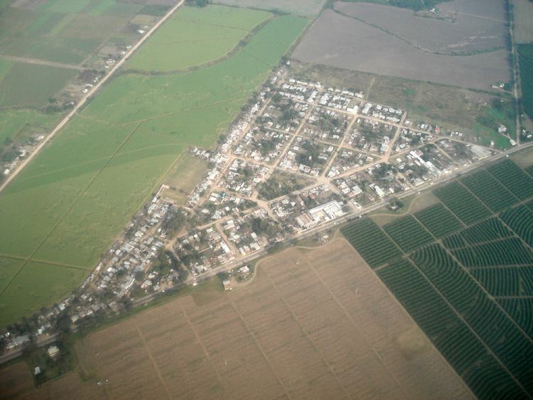 | ||
Burruyacú Department is a department located in the northwest of the Tucumán Province, Argentina. According to the 2001 census, its population was 32,936 The Department seat is the town of Burruyacú.
Contents
- Map of BurruyacC3BA Department TucumC3A1n Argentina
- Geography
- Adjacent districts
- Towns and comunas rurales
- Major highways
- References
Map of Burruyac%C3%BA Department, Tucum%C3%A1n, Argentina
Geography
The department has a total area of 3,605 km², making it the largest department in the province. It has a mountainous west formed by the Sierra de Medinas. East of these mountains is a fertile and sparsely populated plain where ranching and agriculture dominate the land use.
Adjacent districts
Towns and comunas rurales
Major highways
References
Burruyacú Department Wikipedia(Text) CC BY-SA