
- left Yammatree Creek - location below The Sisters | - right Bongongalong Creek - elevation 565 m (1,854 ft) - elevation 248 m (814 ft) | |
 | ||
The Burra Creek, a mostly–perennial river that is part of the Murrumbidgee catchment within the Murray–Darling basin, is located in the South West Slopes region of New South Wales, Australia.
Contents
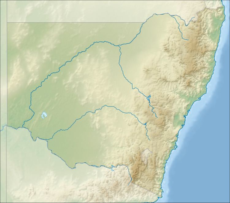
Map of Burra Creek, New South Wales, Australia
Course and features
The Burra Creek (technically a river) rises below The Sisters, on the northern slopes of Ginendoe Hill, part of the Great Dividing Range, and flows generally east, then south, then east, joined by two minor tributaries before reaching its confluence with the Muttama Creek northwest of Coolac. The Muttama Creek is a tributary of the Murrumbidgee River. The Burra Creek descends 318 metres (1,043 ft) over its 29-kilometre (18 mi) course.
References
Burra Creek (Gundagai) Wikipedia(Text) CC BY-SA