
Country United States Elevation 510 m Population 338 (2000) | GNIS feature ID 0471851 Area 102.1 km² Local time Tuesday 2:48 AM | |
 | ||
Weather 1°C, Wind W at 21 km/h, 63% Humidity | ||
Burr Oak Township is a township in Jewell County, Kansas, USA. As of the 2000 census, its population was 338.
Contents
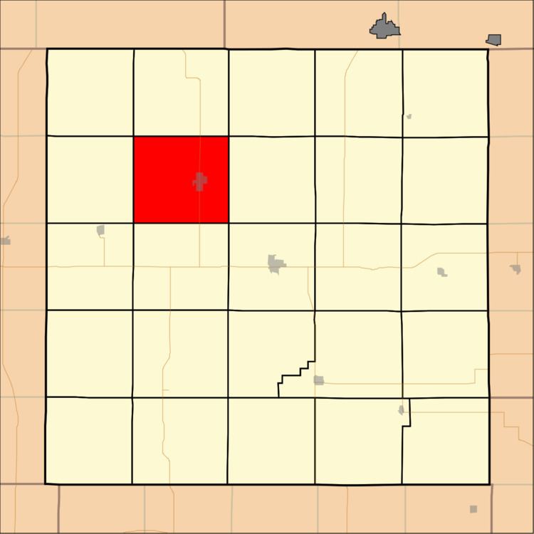
Map of Burr Oak, KS, USA
Geography
Burr Oak Township covers an area of 39.41 square miles (102.06 square kilometers). The streams of Burr Oak Creek, Crooked Auger Creek, Walnut Creek and Wolf Creek run through this township.
Cities and towns
Adjacent townships
Cemeteries
The township contains two cemeteries: Baker and Burr Oak.
Major highways
References
Burr Oak Township, Jewell County, Kansas Wikipedia(Text) CC BY-SA