
Country United States Elevation 543 m Local time Sunday 1:13 AM | GNIS feature ID 0471849 Area 92.66 km² Population 49 (2000) | |
 | ||
Weather 5°C, Wind E at 6 km/h, 98% Humidity | ||
White Mound Township is a township in Jewell County, Kansas, USA. As of the 2000 census, its population was 49.
Contents
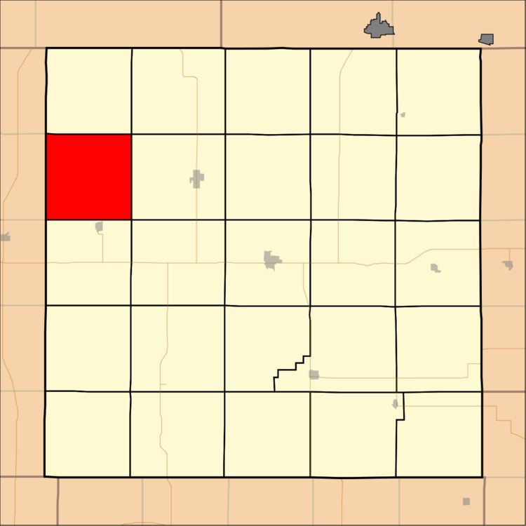
Map of White Mound, KS, USA
Geography
White Mound Township covers an area of 35.78 square miles (92.66 square kilometers); of this, 0.04 square miles (0.11 square kilometers) or 0.12 percent is water. The streams of Ash Creek, Ayres Creek, North Branch White Rock Creek and Smith Creek run through this township.
Adjacent townships
Cemeteries
The township contains three cemeteries: Oak Creek, Providence and Salem.
References
White Mound Township, Jewell County, Kansas Wikipedia(Text) CC BY-SA