
Palestine grid 174/144 Name meaning "The speckled ground" | ||
 | ||
Weather 16°C, Wind N at 6 km/h, 54% Humidity | ||
Burqa (Arabic: بُرقة) is a Palestinian town in the Ramallah and al-Bireh Governorate, located 6 kilometers (3.7 mi) east of Ramallah in the northern West Bank. According to the Palestinian Central Bureau of Statistics (PCBS), the town had a population of approximately 2,090 inhabitants in the 2007 census.
Contents
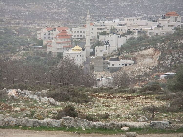
Map of Burka
History
In 1596, Burqa appeared in Ottoman tax registers as being in the Nahiya of Quds of the Liwa of Quds. It had a population of 28 Muslim households and paid taxes on wheat, barley, olives, fruit trees, goats and/or beehives.
American scholar Edward Robinson noted the village in 1838, "high up on the hill-side", while in 1863 French explorer Victor Guérin found it to contain about thirty houses. A Muslim shrine devoted to Sheikh Youseph was also noted.
An Ottoman village list from about 1870 showed that Burka had a population of 152, with a total of 31 houses, though the population count included men, only. In 1883, the Palestine Exploration Fund's Survey of Western Palestine described Burkah as "a good-sized village standing high on a bare hillside, with a spring in the valley to the south."
British Mandate of Palestine
In the 1922 census of Palestine, conducted by the British Mandate authorities, Burqa had a population of 268, all Muslims, increasing in the 1931 census, to 320, still all Muslim, in 66 houses.
In 1945 the population was 380, all Muslims, while the total land area was 6,001 dunams, according to an official land and population survey. Of this, 1,297 dunams were allocated for plantations and irrigable land, 2,460 for cereals, while 22 dunams were classified as built-up areas.
1948-1967
In the wake of the 1948 Arab–Israeli War, and after the 1949 Armistice Agreements, Burqa came under Jordanian rule.
1967 and aftermath
After the Six-Day War in 1967, Burqa has been under Israeli occupation. However, as of September 1995, the immediate region, now known as Area A, has come under collaborative or joint Israeli-Palestinian Authority (PA) administration, with civil administration vested fully in the PA, but where occasional breaches in security matters (as of 2002) have fallen into the hands of Israeli Defense Forces for rectifying.
The outpost Migron, Mateh Binyamin was located east of Burqa, on land registered as privately owned by inhabitants of Burqa and Deir Dibwan. In 2012 Migron was evacuated and since then the area is deserted.