- elevation 2,073 ft (632 m) Basin area 2,823 km² Basin area 2,823 km² | - elevation 3,824 ft (1,166 m) - average 131 cu ft/s (4 m/s) Length 158 km Source Blue Mountains | |
 | ||
- location near Huntington, Oregon | ||
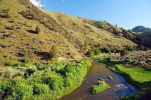
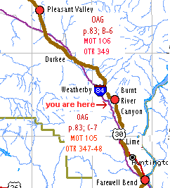
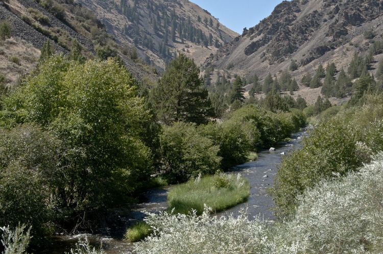
The Burnt River is a 98-mile-long (158 km) tributary of the Snake River in eastern Oregon, United States. It enters the Snake near Huntington, Oregon, at a point upstream of the Powder River and downstream of the Malheur River, slightly more than 327 miles (526 km) from the Snake's confluence with the Columbia River. Draining 1,090 square miles (2,800 km2), it flows predominately west to east.
The river begins at Unity Reservoir at the confluence of the North, West, Middle, and South forks of the river. The reservoir is slightly east of the Wallowa-Whitman National Forest in the Blue Mountains and slightly north of Unity. Unity Lake State Recreation Site adjoins the reservoir. As it leaves the lake, the river flows under Oregon Route 245, then runs east through the upper Burnt River Valley past Hereford and Bridgeport and, through the Burnt River Canyon, to Durkee. Turning generally south at Durkee, the river runs along Interstate 84 past Weatherby, Dixie, and Lime before flowing under the Interstate and turning east again. Shortly thereafter, it passes Huntington and reaches the Snake.