
Country United States Time zone Pacific (PST) (UTC-8) Local time Thursday 10:11 PM | Elevation 3,671 ft (1,119 m) Area code(s) 458 and 541 | |
 | ||
Weather 5°C, Wind S at 8 km/h, 100% Humidity | ||
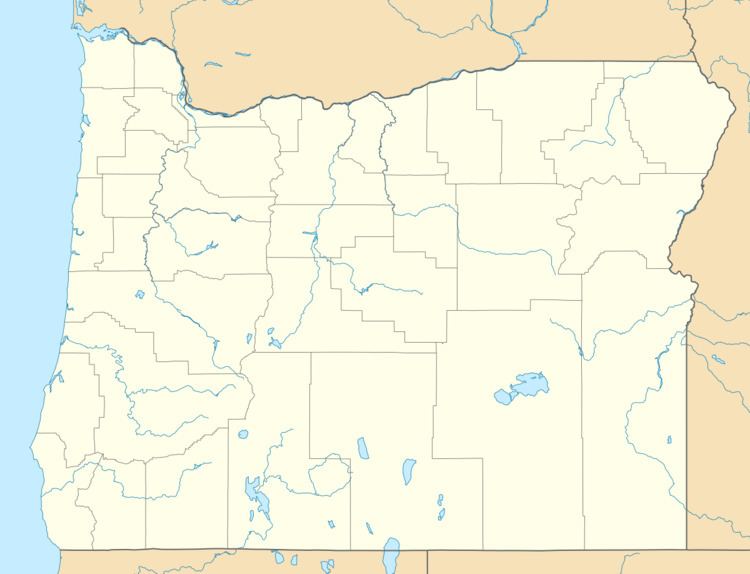
Hereford is an unincorporated community in Baker County, in the U.S. state of Oregon. Hereford lies along the Burnt River southwest of Baker. It is on Oregon Route 245 northeast of its intersection with U.S. Route 26 in Unity. Hereford is 3,671 feet (1,119 m) above sea level.
Map of Hereford, OR 97837, USA
Although it is unincorporated, Hereford has a post office with a ZIP code of 97837. It is said that the community was named in the late 19th century for a Hereford bull. A post office was established here on March 7, 1887.
References
Hereford, Oregon Wikipedia(Text) CC BY-SA