
Time zone Pacific (PST) (UTC-8) Local time Friday 3:27 PM | Elevation 2,234 ft (681 m) Area code(s) 458 and 541 | |
 | ||
Weather 18°C, Wind SE at 13 km/h, 44% Humidity | ||
Lime oregon
Lime is an unincorporated community in Baker County, Oregon, United States, 5 miles (8 km) north of Huntington on U.S. Route 30/Interstate 84. It is near the confluence of Marble Creek and the Burnt River on the Union Pacific Railroad. The Oregon Trail passes through Lime.
Contents
Map of Lime, OR 97907, USA
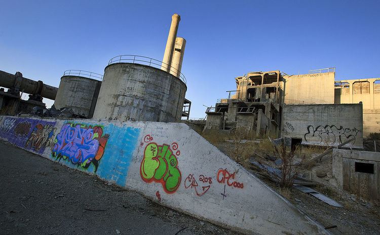
Lime post office was established in 1899 and closed in 1964. In 1940, the community had a population of 18. The deposits of limestone in the area were manufactured into lime that supplied a large area of Eastern Oregon and western Idaho. The Acme Cement Plaster Company built a plant at Lime in 1916 to produce plaster. The Sun Portland Cement Company bought the plant in 1921 and built another facility for producing Portland cement. In 1926, the company merged with Oregon Portland Cement Company from Portland; by the 1960s, the Lime facility produced 1,200,000 barrels a year. As the nearby limestone deposits were depleted, limestone was brought from the Nelson area near Durkee. A new plant was built at Nelson in 1979 and the facility at Lime was closed in 1980. Oregon Portland Cement Company merged with the Ash Grove Cement Company in 1983.