
Country India District Bardhaman Elevation 121 ft (37 m) Population 215,943 (2011) | Parliamentary constituency Bardhaman-Durgapur Area 250.4 km² | |
 | ||
Assembly constituency Bardhaman Uttar, Bhatar | ||
Burdwan I is a community development block that forms an administrative division in Bardhaman Sadar North subdivision of Bardhaman district in the Indian state of West Bengal.
Contents
Geography
Baghar, a constituent panchayat of Burdwan I block, is located at 23°19′06″N 87°49′54″E.
Burdwan I CD Block is part of the Bardhaman Plain, the central plain area of the district. The area is surrounded by the Bhagirathi on the east, the Ajay on the north-west and the Damodar on the west and south. Old river channels and small creeks found in the region dry up in the dry season, but the Bardhaman Plains are sometimes subject to heavy floods during the rainy season. The region has recent alluvial soils.
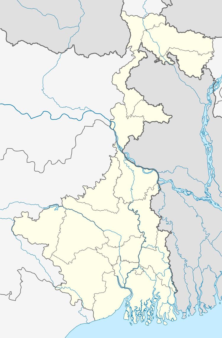
Burdwan I CD Block is bounded by Bhatar and Manteswar CD Blocks on the north, Memari II and Burdwan II CD Blocks on the east, Khandaghosh CD Block on the south and Galsi II CD Block on the west.
Burdwan I CD Block has an area of 250.41 km2. It has 1 panchayat samity, 9 gram panchayats, 162 gram sansads (village councils), 80 mouzas and 75 inhabited villages. Burdwan police station and Women police station Burdwan serve this block.Headquarters of this CD Block is at Kamnara.
Gram panchayats of Burdwan I block/panchayat samiti are: Baghar I, Baghar II, Belkash, Bondul I, Kshetia, Kurmun I, Rayan I, Rayan II and Saraitikar.
Population
As per the 2011 Census of India Burdwan I CD Block had a total population of 215,943, of which 175,836 were rural and 40,107 were urban. There were 109,841 (51%) males and 106,102 (49%) females. Population below 6 years was 23,365. Scheduled Castes numbered 65,028 (30.11%) and Scheduled Tribes numbered 12,127 (5.62%).
As per 2001 census, Burdwan I block had a total population of 179,774, out of which 92,276 were males and 87,498 were females. Burdwan I block registered a population growth of 23.93 per cent during the 1991-2001 decade. Decadal growth for Bardhaman district was 14.36 per cent.Decadal growth in West Bengal was 17.84 per cent.Scheduled castes at 61,087 formed around one-third the population. Scheduled tribes numbered 12,309.
Census Towns in Burdwan I CD Block are (2011 census figures in brackets): Goda (P) (6,483), Bahir Sarbamangala (P) (12,819), Mirzapur (7,733) and Nari (P) (13,072).
Large villages (with 4,000+ population) in Burdwan I CD Block are (2011 census figures in brackets): Jagadabad (4,006), Talit (5,240), Krishnapur (6,279), Simdali (5,501), Kharjuli (4,198), Rayan (18,973), Sadhanpur (P) (8181) and Kurman (8,478).
Other villages in Burdwan I CD Block include (2011census figures in brackets): Bandul (1,823), Saraitikar (3,383), Belkash (1,244), Baghar (3,395) and Khetia (2,421).
Literacy
As per the 2011 census the total number of literates in Burdwan I CD Block was 146,493 (76.07% of the population over 6 years) out of which males numbered 80,604 (82.21% of the male population over 6 years) and females numbered 65,889 (69.70% of the female population over 6 years). The gender disparity (the difference between female and male literacy rates) was 12.51%.
As per 2001 census, Burdwan I block had a total literacy of 68.83 per cent for the 6+ age group. While male literacy was 77.68 per cent female literacy was 59.42 per cent. Bardhaman district had a total literacy of 70.18 per cent, male literacy being 78.63 per cent and female literacy being 60.95 per cent.
See also – List of West Bengal districts ranked by literacy rate
Languages and religion
Bengali is the local language in these areas.
In 2001 Bengali was the mother-tongue of 79.9% of the population of Bardhaman district, Hindi was the mother-tongue of 10.9%, Santali 4.9%, Urdu 2.8%, Bhojpuri 0.1% and Oraon 0.1%. There were other languages spoken by small percentages. However, as of 2017, CD Block-wise/ other region-wise break-up of mother tongue is not available in census/ other official sources.
In the 2011 census Hindus numbered 152,908 and formed 70.81% of the population in Burdwan I CD Block. Muslims numbered 61,823 and formed 28.38% of the population. Christians numbered 750 and formed 0.35% of the population. Others numbered 1,002 and formed 0.46% of the population.
In Bardhaman district the percentage of Hindu population has been declining from 84.3% in 1961 to 77.9% in 2011 and the percentage of Muslim population has increased from 15.2% in 1961 to 20.7% in 2011.
Rural poverty
As per poverty estimates obtained from household survey for families living below poverty line in 2005, rural poverty in Burdwan I CD Block was 33.70%.
Livelihood
In Burdwan I CD Block in 2011, amongst the class of total workers, cultivators formed 12.91%, agricultural labourers 39.56%, household industry workers 3.66% and other workers 43.86%.
Burdwan I CD Block is part of the area where agriculture dominates the scenario but the secondary and tertiary sectors have shown an increasing trend.
Infrastructure
All 80 or 100% of mouzas in Burdwan I CD Block were electrified by 31 March 2014.
All 80 mouzas in Burdwan I CD Block had drinking water facilities in 2013-14. There were 105 fertiliser depots, 15 seed stores and 55 fair price shops in the CD Block.
Agriculture
Although the Bargadari Act of 1950 recognised the rights of bargadars to a higher share of crops from the land that they tilled, it was not implemented fully. Large tracts, beyond the prescribed limit of land ceiling, remained with the rich landlords. From 1977 onwards major land reforms took place in West Bengal. Land in excess of land ceiling was acquired and distributed amongst the peasants.Following land reforms land ownership pattern has undergone transformation. In 2013-14, persons engaged in agriculture in Burdwan I CD Block could be classified as follows: bargadars 5.32%, patta (document) holders 9.20%, small farmers (possessing land between 1 and 2 hectares) 6.23%, marginal farmers (possessing land up to 1 hectare) 23.25% and agricultural labourers 55.99%.
In 2003-04 net cropped area in Burdwan I CD Block was 18,147 hectares and the area in which more than one crop was grown was 18,102 hectares.
In 2013-14, Burdwan I CD Block produced 126,390 tonnes of Aman paddy, the main winter crop, from 37,577 hectares, 30,259 tonnes of Boro paddy (spring crop) from 8,040 hectares, 23,526 tonnes of potatoes from 958 hectares and 398 tonnes of sugarcane from 5 hectares. It also produced pulses and oilseeds.
In Bardhaman district as a whole Aman paddy constituted 64.32% of the total area under paddy cultivation, while the area under Boro and Aus paddy constituted 32.87% and 2.81% repectively. The expansion of Boro paddy cultivation, with higher yield rates, was the result of expansion of irrigation system and intensive cropping.In 2013-14, the total area irrigated in Burdwan I CD Block was 26,510.86 hectares, out of which 26,092.21 hectares were irrigated by canal water, 161.30 hectares by river lift irrigation and 257.35 hectares by deep tube wells.
Banking
In 2013-14, Burdwan I CD Block had offices of 12 commercial banks and 2 gramin banks.
Transport
Burdwan I CD Block has 9 originating/ terminating bus routes.
The Bardhaman-Asansol section, which is a part of Howrah-Gaya-Delhi line, Howrah-Allahabad-Mumbai line and Howrah-Delhi main line, passes through this CD Block and there is a station at Talit.
Kolkata-Delhi NH 19 (old numbering NH 2)/ Grand Trunk Road passes through this CD Block.
SH 7 running from Rajgram (in Birbhum district) to Midnapore (in Paschim Medinipur district) and SH 8 running from Santaldih (in Purulia district) to Majhdia (in Nadia district) cross at Mirzapur in this CD Block.
SH 13 running from Mollarpui Maghipara (in Birbhum district) to Dankuni (in Hooghly district) crosses NH 19 at Goda.
Education
In 2013-14, Burdwan I CD Block had 117 primary schools with 11,426 students, 10 middle schools with 755 students, 14 high schools with 9,008 students and 12 higher secondary schools with 11,225 students. Burdwan I CD Block had 2 technical/ professional institution with 200 students and 277 institutions for special and non-formal education with 13,420 students
Healthcare
In 2014, Burdwan I CD Block had 1 block primary health centres and 2 primary health centres with total 18 beds and 4 doctors (excluding private bodies). It had 24 family welfare subcentres. 1,640 patients were treated indoor and 185,275 patients were treated outdoor in the hospitals, health centres and subcentres of the CD Block.
Burdwan I CD Block is one of the areas of Bardhaman district which is affected by a moderately high level of arsenic contamination of ground water.