
Postcode(s) 3527 Postal code 3527 | ||
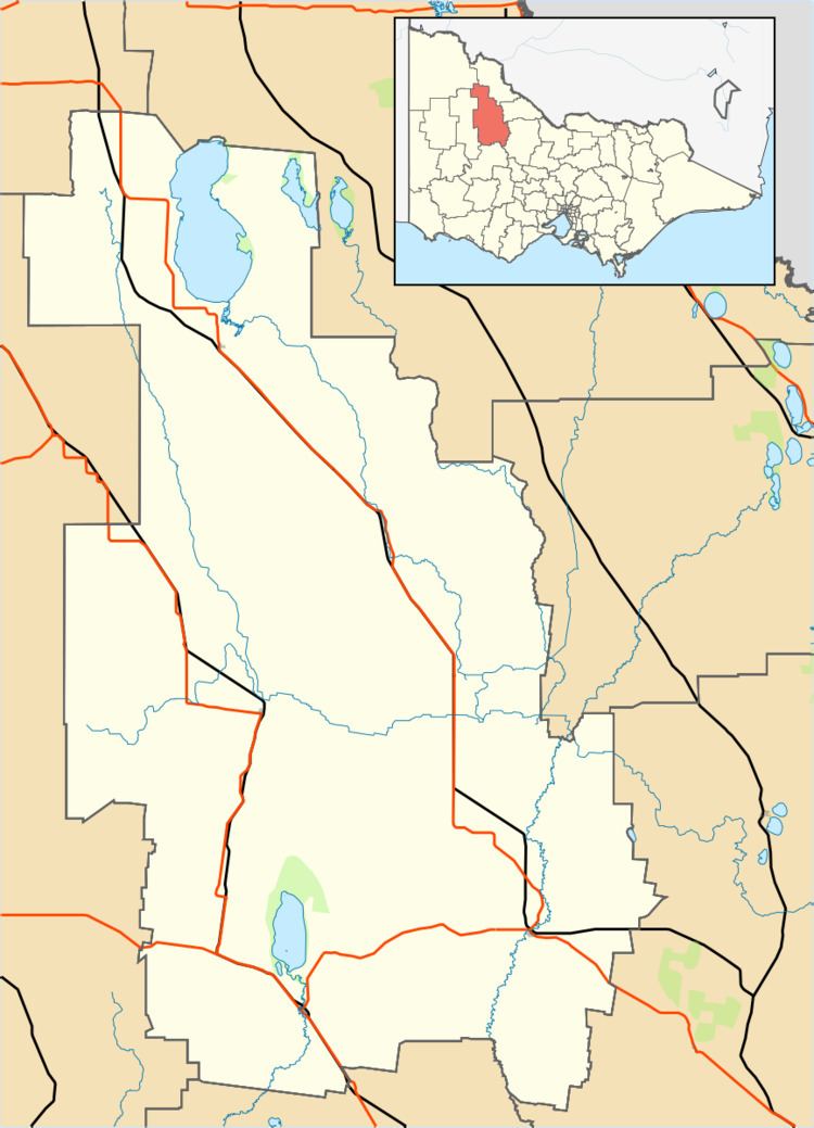 | ||
Location 271 km (168 mi) from Melbourne17 km (11 mi) from Wycheproof27 km (17 mi) from Charlton | ||
Bunguluke is a locality in Victoria, Australia, located approximately 17 km from Wycheproof, Victoria.
Map of Bunguluke VIC 3527, Australia
Bunguluke used to be known as Bungeluke. Bungeluke Post Office opened on 18 October 1875 and closed in 1942. A post office was open at Bungeluke North from 1878 until 1895 and from 1902 until 1930. A Bungeluke Railway Station office opened in 1884 and was renamed Fairview some months later and a Bungeluke West office opened in 1880 became Tyrrell Creek in 1882.
References
Bunguluke, Victoria Wikipedia(Text) CC BY-SA