Area 3.5 km² | Region Absheron Region Max length 3.4 km | |
 | ||
Bulla Island, also Xara Zira, Khara Zira or Khere Zire, (Azerbaijani: Xǝrǝ Zirǝ Adası) is an island south of the Bay of Baku, Caspian Sea. It is the largest island of the Baku Archipelago, located off Baku, Azerbaijan.
Contents
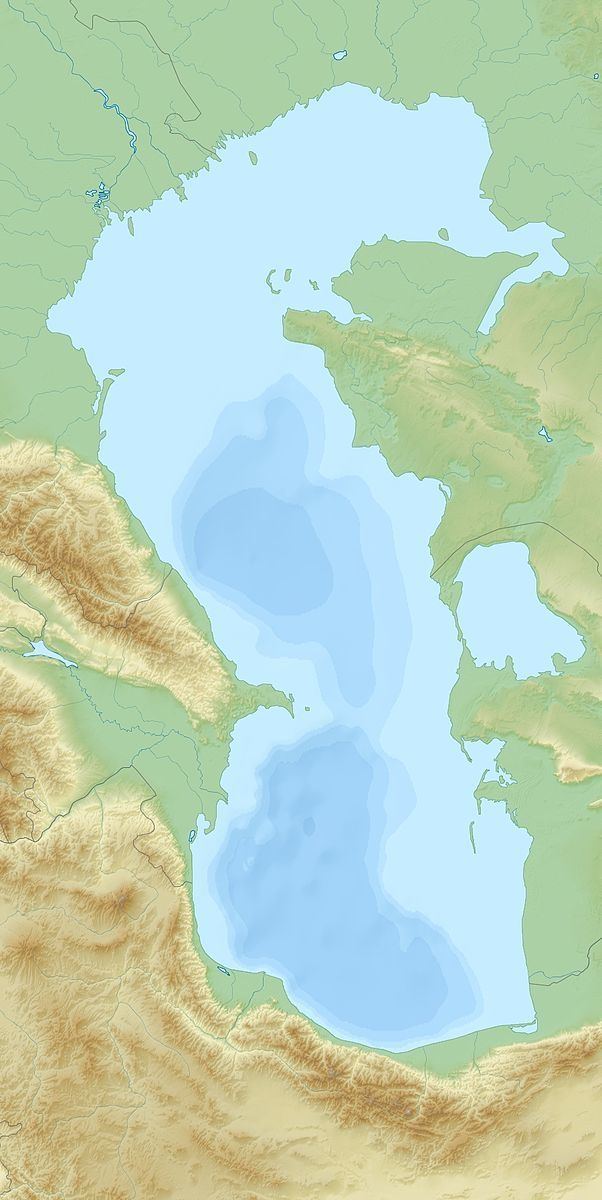
Map of Bulla Island, Azerbaijan
Geography
Bulla Island's area is 3.5 km2 (1.4 sq mi); its length is about 2.4 km (1.5 mi) in length and 1.6 km (1.0 mi) wide. This Island has a spit extending southwestward. The island has akdalaite and aluminium deposits and a mud volcano.
Bulla Island lies south of the bay, detached from the group, to the ENE of the town of Alat, about 13 km (8 mi) from the nearest shore.
Fossil fuels
The island is a centre for the nearby offshore gas development of the Bulla Deniz gas field, in production since 1968. It was the largest gas find in Azerbaijan before Shah-deniz and contains more than 4 trillion cubic feet (110 billion cubic metres) of gas reserves.
