
Native name Pasmo Bukowicy Elevation 778 m Mountains Tokarnia | Nickname Bukowica State/Province Podkarpacie Highest point Tokarnia | |
 | ||
Parent range | ||
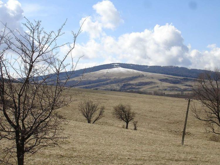
Bukowica Range (Pasmo Bukowicy in Polish) part of the Pogórze Bukowskie and Low Beskids in southern Poland. The Bukowica created by the long mountain massif, situated in the eastern part of the Beskid Niski between the valleys of the Wisłok and Osławica rivers. The Bukowica Range separating the west Low Beskids from the east Pogórze Bukowskie.
Contents
Map of Bukowica, Poland
It consists of a larger ridge of Bukowica with summits as Skibce (776 m. above the sea level ) in the north-west and Tokarnia (777 m. above the sea level ) in the south-east and the smaller range of Kamien Peak (718 m. above the sea level ). Bukowica is rather a monotonous mountainous bank and is heavily except Tokarnia covered with forest it has a panoramic view in all directions. The southern part is a steep rocky wall, while the other side consist of less steep rocky fields.
The Bukowica Range separating the west Low Beskids from the east Pogórze Bukowskie.