
- summer (DST) CEST (UTC+2) Local time Sunday 11:50 PM | Area 8.8 km² | |
 | ||
Weather 8°C, Wind S at 11 km/h, 77% Humidity | ||
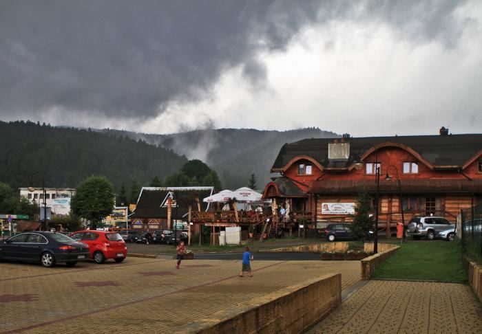
Cisna [ˈt͡ɕisna] (Ukrainian: Тісна, Tisna) is the main village of the Gmina Cisna in the Lesko County, in the Subcarpathian Voivodeship (province) of south-eastern Poland. It lies in the Solinka valley in between the Bieszczady mountains.
Contents
Map of Cisna, Poland
History
The village has been founded in 1552 by the Bals family.
Jacek Fredro founded a blacksmith company here, that provided the area with agricultural instruments, pots and stoves. His son Aleksander Fredro, a famous Polish poet, playwright and writer, was born here.
In the years between 1890 and 1895, a narrow gauge railroad was built to Nowy Łupków and in 1904 extended to Kalnica. In the interbellum, Cisna was one of the principal villages in the Bieszczady and was well-known place to spend a holiday, growing to 60.000 inhabitants.
The Second World War destroyed almost all of the village. Afterwards, between 1945 and 1947, fighting continued in the area between Polish and Soviet armies and the Ukrainian Insurgent Army. The village was burned by the Ukrainian Insurgent Army in 1946 and all villagers were moved out. Some people left Cisna on 29 April 1947 (Operation Vistula) and moved to the Gdańsk area of Poland. Some people went to the Ukrainian SSR in 1946.