
District Marang Population 26,790 (2010) | Postcode 21xxx | |
 | ||
Time zone Malaysian Standard Time (UTC+8) | ||
Paramotor malaysia capt hr flying at bukit payong terengganu airport 20102015
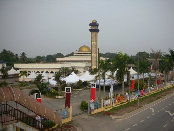
Bukit Payong (est. pop. 2010 census: 26790) is a town in the Marang district of Terengganu, on the east coast of peninsular Malaysia.
Contents
- Paramotor malaysia capt hr flying at bukit payong terengganu airport 20102015
- Map of Bukit Payong Terengganu Malaysia
- References
Map of Bukit Payong, Terengganu, Malaysia
The population comprises 95.85% Malays, 4% Chinese and 0.15% of other races. The town borders with the district of Kuala Terengganu. It houses several government departments such as Jabatan Pertanian, Jabatan Haiwan, Peladang, and Pejabat Pos. There are two shopping centres; Pasaraya Seri Intan and Kedai Wahab. There are also a lot of bundle shops in the town as well as facilities such as banks, a futsal hall, police station, civic hall, clinics, health centres and schools. The East Coast Expressway interchage also exits here. It is also the seat of the state constituency of the same name. Currently, the seat is held by Pan-Malaysian Islamic Party or PAS after 2013 Malaysia General Election