
Elevation 1,080 m | Time zone EAT (UTC+3) Local time Monday 1:11 PM | |
 | ||
Weather 32°C, Wind NE at 3 km/h, 33% Humidity | ||
Lesson anne bukedea primary school uganda august 2009
Bukedea is a town in the Eastern Region of Uganda. It is the chief municipal, administrative, and commercial center of Bukedea District, and the district headquarters are located there.
Contents
- Lesson anne bukedea primary school uganda august 2009
- Map of Bukedea Uganda
- 2 700 bukedea residents benefit from shs142m borehole project
- Location
- Population
- Points of interest
- References
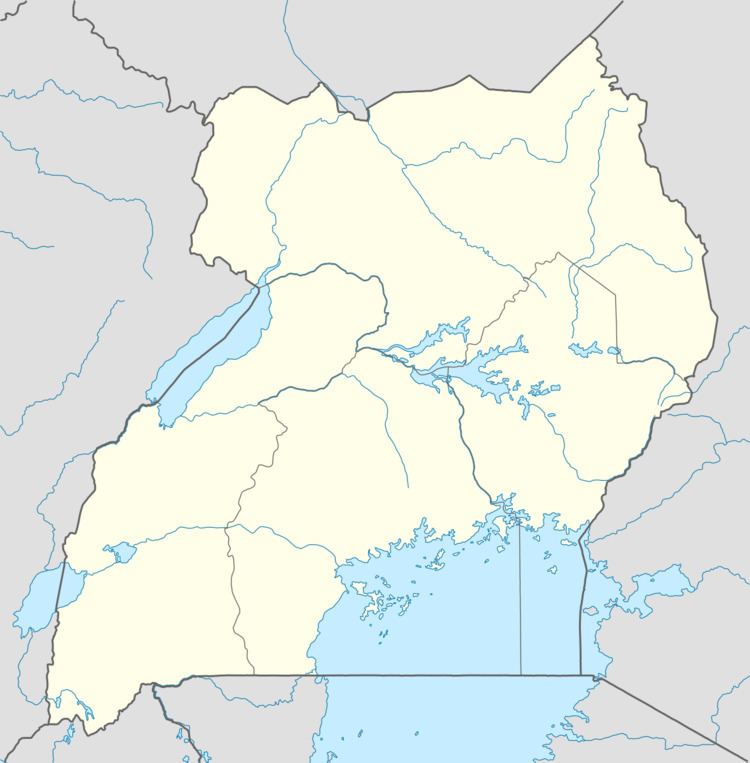
Map of Bukedea, Uganda
2 700 bukedea residents benefit from shs142m borehole project
Location
Bukedea is situated on the main highway (A-109) between Mbale and Soroti. It is approximately 80 kilometres (50 mi), by road, southeast of Soroti, the largest city in Teso sub-region. This is approximately 250 kilometres (160 mi), by road, northeast of Kampala, the capital of Uganda and its largest city. The coordinates of the town are:01 20 51N, 34 02 40E (Latitude:1.347500; Longitude:34.044444).
Population
According to the 2002 national census, the population of Bukedea was about 25,130. In 2010, the Uganda Bureau of Statistics (UBOS) estimated the population at 35,100. In 2011, UBOS estimated the mid-year population at 36,700.
Points of interest
The following points of interest are located within the town limits or close to the edges of town: