
Population 103 (2011 census) Civil parish Bugthorpe Local time Monday 8:07 AM | OS grid reference SE771579 Dialling code 01759 | |
 | ||
Weather 4°C, Wind NW at 6 km/h, 91% Humidity | ||
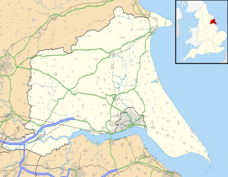
Bugthorpe is a village and civil parish in the East Riding of Yorkshire, England, about 11 miles (18 km) east of York and 16 miles (26 km) west of Driffield. The village is just south of the border with North Yorkshire. According to the 2011 UK Census the civil parish had a population of 103, a decrease on the 2001 UK Census figure of 122.
Map of Bugthorpe, York, UK
St Andrew's Church stands in the village and was designated a Grade I listed building in 1966 and is now recorded in the National Heritage List for England, maintained by Historic England. Next to the church is the village green.
Low Hall is also designated as a Grade II* listed building.
There are road links from the village to Skirpenbeck, Barthorpe Bottoms, Kirby Underdale, and the main A166 York to Bridlington road.
Bugthorpe has a village post office, a brewery and a small school.