
OS grid reference SP680575 Sovereign state United Kingdom Population 2,773 (2001) Dialling code 01604 | Civil parish Bugbrooke Post town NORTHAMPTON Local time Monday 7:41 AM | |
 | ||
Weather 2°C, Wind W at 10 km/h, 93% Humidity | ||
Bugbrooke is a large village and civil parish in Northamptonshire, England, on a ridge overlooking the valley of the River Nene.
Contents
- Map of Bugbrooke Northampton UK
- Bakers arms bugbrooke
- Location
- Demographics
- Governance
- Buildings and other facilities
- Sport and leisure
- History
- Other features
- References
Map of Bugbrooke, Northampton, UK
Bakers arms bugbrooke
Location
It is about 7 miles (11.3 km) south west of Northampton. The M1, one of the busiest motorways in England, is about 2 miles (3.2 km) by the shortest route to junction 16.
Demographics
The 2001 census shows a population of 2,773 people, 1,376 males and 1,397 female in 1,029 households. The 2010 population estimate is 2,924 and the district council has classified it as able to expand further.
Governance
Following boundary changes, Bugbrooke remains part of the Parliamentary Constituency of Daventry. It is considered a "safe" Conservative seat. At the May 2015 general election, the Daventry seat was retained by the Conservative candidate, Christopher Heaton Harris.
Bugbrooke is in South Northamptonshire Council's two-member "Heyfords and Bugbrooke" ward, covering the village as well as neighbouring Nether Heyford and Upper Heyford.
From May 2013, the Northamptonshire County Council seat of Bugbrooke joins with 10 other parish councils to form Bugbrooke division.
Bugbrooke Parish Council meets monthly and is re-elected every four years.
Buildings and other facilities
Bugbrooke has an Anglican church, dedicated to St Michael and All Angels which dates from the 13th century. There are monuments to the Whitfield family from 1704 and 1734. There is an early 19th-century rectory west of the church.
The Baptist chapel is dated 1808. A row of yellow-brick cottages east of the chapel past the brook were built in 1844 in the Gothic style by Edmund Francis Law and were originally a National School with accommodation for the master.
There is a manor house at the north-east end of the village with a wide-arched entrance to the yard. This was restored in the Tudor style by Edmund Francis Law in 1881.
The village has three pubs: "The Bakers Arms" in the High Street; "The Wharf" alongside the Grand Union Canal and "The Five Bells" opposite the church.
There is also a GP Practice,
Bugbrooke Community Primary School is located in the High Street, and a large comprehensive school, Campion School, serving Bugbrooke and several nearby villages, is situated on Kislingbury Road on the eastern approach to the village. It was built in 1966-68 with extension in 1972-72 and was the first purpose-built comprehensive in the county.
A village magazine, "Bugbrooke Link", is published monthly, and includes regular reporting of Church, Parish Council and sports events.
Sport and leisure
Bugbrooke has a Non-League football team Bugbrooke St Michaels F.C. who play at Birds Close.
Bugbrooke also has a thriving Rugby Club who currently play in Midlands Division One. http://pitchero.com/clubs/bugbrooke
There is a large, modern community centre at Camp Close on the southern edge of the village. Adjacent to this is a large sports field. Sports groups include well-supported Bowls and Cricket clubs.
History
The village, named in the Domesday Book of 1086 AD as "Buchebroc", is situated on the Hoarestone Brook, which flows through the village from south to north. The name of the stream is supposed to be a corruption of Horse-stone, as an old packhorse route crossed the brook by a simple slab bridge just outside the village. When the stream was widened in the 1970s, the last of the mediaeval slabs was damaged beyond repair, but the pillars are still intact.
The brook meets the River Nene near Bugbrooke Mill. The first mill on the site was established in 800 AD and by the time of the Domesday Book was the third-highest rated mill in England. It is now the site of Heygate's flour mill, whose large central tower can be seen for several miles around. Heygate's trucks, with their distinctive maroon markings, can frequently be seen rumbling along Bugbrooke's main road.
Other features
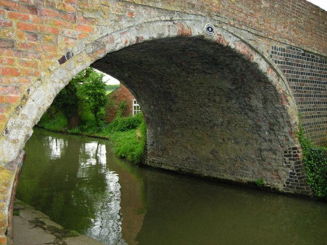
The West Coast Main Line railway and the Grand Union Canal run adjacent to the south-west of the parish, with the A5 major road a little further, while the M1 motorway runs to the north-east.
Bugbrooke is also the birthplace of the Jesus Army, which sprang out of the Baptist Chapel in the centre of the village, which it continues to use regularly.
Northampton's Express Lift Tower can be seen from the village about 5 miles (8.0 km) to the east.