
Population 77 Est. 2009 Sovereign state United Kingdom UK parliament constituency Daventry | OS grid reference SP663596 Post town NORTHAMPTON Local time Sunday 6:30 PM Dialling code 01327 | |
 | ||
Weather 13°C, Wind W at 6 km/h, 59% Humidity | ||
Upper Heyford is an English village 6 miles (9.7 km) west of Northampton along the A45 road just before Weedon, in the shire county of Northamptonshire, known as "Northants". It is 0.5 miles (0.8 km) by road to the M1 London to Yorkshire motorway junction 16, 72 miles (116 km) north of London and 38 miles (61 km) southeast of Birmingham. The village of Nether Heyford is about 0.5 miles (0.8 km) to the south of the village with which it shares a Parish Council, Primary School, church and other facilities. A second village with the same name is in Oxfordshire.
Contents
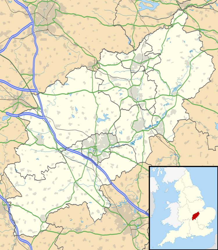
Map of Upper Heyford, Northampton, UK
Notable buildings
Heyford Mill lies a little to the west of the village along the River Nene in a valley which separates the village and Nether Heyford. The mill was derelict but underwent extensive restoration and refurbishment in 2008. The Mill is mentioned in the Domesday Book. In November 2008, South Northants Council decided to serve a "planning enforcement notice" on the developer alleging failure to comply his planning permission. The Council had previously served a court injunction against the developer to stop occupation of the property. The enforcement notice will require the demolition of the new buildings and other works on the historic site.
The mill fell into disuse in the 1960s. With the intention of saving its historic character, the Council granted planning permission in 2005 to restore and change the use of several derelict buildings at Heyford Mill after they had suffered arson and vandalism attacks. The site is in open countryside, part of the floodplain of the River Nene.