Time zone IST (UTC+5:30) Area 10.21 km² | PIN 522307 Population 4,959 (2011) | |
 | ||
Budampadu is a neighbourhood of Guntur in the Indian state of Andhra Pradesh. It was merged into Guntur Municipal Corporation in the year 2012.
Contents
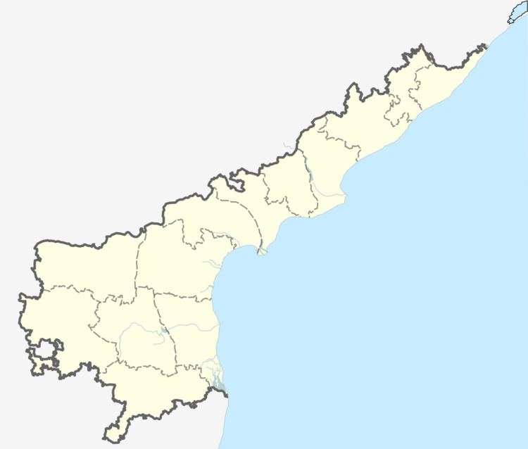
Map of Budampadu, Andhra Pradesh 522017
Transport
National Highway 16 and State Highway 48 are the major roads that passes through Budampadu area. The public transport is provided by APSRTC city buses, which are operated from NTR bus station towards Chebrolu. Guntur railway station is the major railway station located near the locality.
References
Budampadu Wikipedia(Text) CC BY-SA
