
Country Uganda Elevation 1,160 m | District Budaka District Local time Monday 3:53 AM | |
 | ||
Region Eastern Region of Uganda Weather 21°C, Wind SE at 5 km/h, 79% Humidity | ||
Budaka is a town in the Eastern Region of Uganda. It is the chief town of Budaka District, and the district headquarters are located there.
Contents
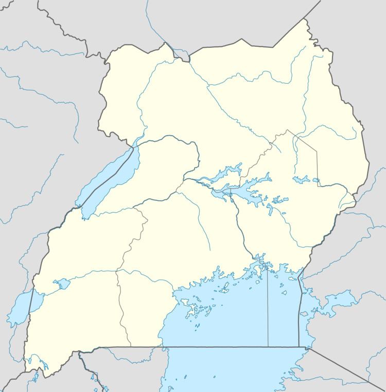
Map of Budaka, Uganda
Location
Budaka is approximately 36 kilometres (22 mi), by road, west of Mbale, the largest city in the sub-region. This is approximately 212 kilometres (132 mi), by road, north-east of Kampala, the capital and largest city of Uganda. The coordinates of the town are:01 01 00N, 33 56 42E (Latitude:1.0150; Longitude:33.9450).
Population
The 2002 national population census estimated the town's population at 17,000. The Uganda Bureau of Statistics (UBOS) estimated the 2010 population at 21,100. In 2011, UBOS estimated the population at 21,700.
Points of interest
The following points of interest are located within the town of Budaka or close to the edges of town:
Naboa Sub-County was given that name by British Colonial masters because the area was full of Grammodes geometrica moths (Nziira) of the Noctuidae family.
The Basimba Leopard Clan members with the names Katunku, Ngulya, Kaabya, Mwati, Kabolesa, Namuyonjo, Ntembe of Lupada, Naboa Sub-County, Budaka County, Budaka District live among the Bagwere but trace their origin from Tanzania and Zambia.