
Postcode(s) 5120 Postal code 5120 | Federal division Division of Wakefield | |
 | ||
Location 30 km (19 mi) N of Adelaide city centre | ||
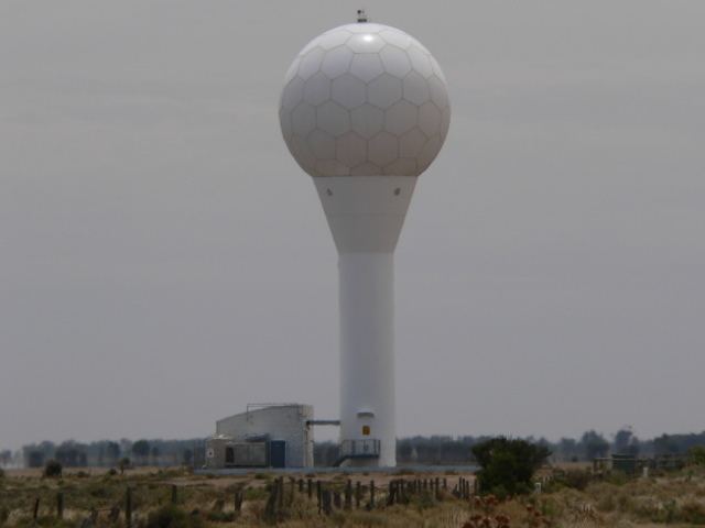
Buckland Park is a suburb on the rural outskirts of Adelaide, the capital city of South Australia. Port Wakefield Road, the main highway taking traffic to the north of Adelaide, passes the eastern boundary. The northern boundary is the Gawler River, and the western side is Gulf St Vincent. Buckland Park is named after an early pioneer homestead in the area. Buckland Park is the site of the Adelaide region weather radar. Market gardening is the main activity as the soil is predominantly on the flood plain of the lower Gawler River. Walker Corporation proposes to develop a large housing development in the area with up to 33,000 residents by 2036, however some critics are concerned about the isolation from the rest of Adelaide and the threat of flooding.