
Type Road | Length 149 km | |
 | ||
Major cities Gloucester, Stroud, Tinonee | ||
sydney ambulance service new south wales collection
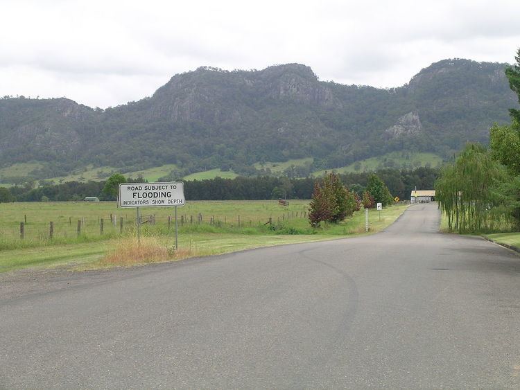
The Bucketts Way is a 151-kilometre (94 mi) rural road that links Gloucester to Taree and Raymond Terrace, in New South Wales, Australia. It was named after the Bucketts Mountains, a prominent mountain range near Gloucester. Between 1928 and 1952 the Bucketts Way served as the alignment of the Pacific Highway between Raymond Terrace and Taree. The entire route is designated as Tourist Drive TD2.
Contents
- sydney ambulance service new south wales collection
- Map of The Bucketts Way New South Wales Australia
- Part 2 new south wales golf club sydney
- Route
- References
Map of The Bucketts Way, New South Wales, Australia
Part 2 new south wales golf club sydney
Route
In the south, the Bucketts Way branches off to the west of the Pacific Highway 14 km (9 mi) north of the Raymond Terrace bypass. Heading north, it crosses the Karuah River about 8.5 km (5.3 mi) south of Stroud and then roughly follows the course of the Karuah River upstream in a west-north-westerly direction for approximately 25 km (16 mi), crossing the Mammy Johnsons River. It then turns north-north-east and then north for 32 km (20 mi) until it reaches Gloucester, crossing the Avon River on the way. The North Coast Railway line runs parallel with it from just north-east of Stroud Road to Gloucester. At Gloucester, Bucketts Way meets the southern terminus of Thunderbolts Way that leads to the Northern Tablelands and various other national parks and riverside camping reserves along the way. The Bucketts Way continues eastwards to Krambach and then to Taree where it rejoins the Pacific Highway.
It provides access to the Barrington Tops National Park, and is used by tourists as a very scenic alternative to the Pacific Highway. The Bucketts Way travels through two council areas: Port Stephens and Mid-Coast Council. Some councillors of the former Gloucester Shire proposed renaming the section of Bucketts Way south of Gloucester to Thunderbolts Way, as is shown on some tourist maps. This would result in one continuously named road stretching from the Pacific Highway near Raymond Terrace to the New England Highway at Uralla and beyond. However, there is significant community opposition to a name change.