
Area codes 0 72 42 Elevation 346 m Population 3,822 (1 Apr 2009) Postal code 4611 | Time zone CET (UTC+1) Vehicle registration WL Area 32 km² Local time Sunday 11:15 PM | |
 | ||
Weather 1°C, Wind SW at 3 km/h, 96% Humidity | ||
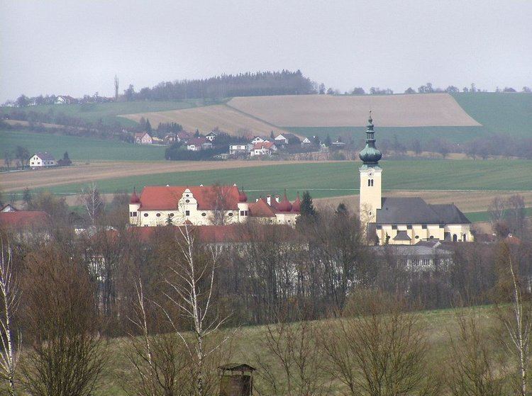
Buchkirchen is a municipality in the district of Wels-Land in the Austrian state of Upper Austria.
Contents
Map of 4611 Buchkirchen, Austria
Geography
Buchkirchen lies in the Hausruckviertel. About 10.9% of the municipality is forest, and 76.9% is farmland.
Parts of Buchkirchen
Those parts are called Ortschaften in German:
Buchkirchen, Elend, Ennsberg, Epping, Hörling, Haberfelden, Hartberg, Hochscharten, Holzwiesen, Hundsham, Hupfau, Kandlberg, Lachgraben, Luckermair, Mistelbach bei Wels, Niedergrafing, Niederhocherenz, Niederlaab, Obergrafing, Oberhocherenz, Oberperwend, Oberprisching, Ottenham, Radlach, Öhnerhäuser, Ötzing, Schickenhäuser, Schnadt, Sommerfeld, Spengenedt, Unterholz, Wörist, Wolfsgrub.
History
In 1179 Buchkirchen was mentioned in a document of Pope Alexander III. In those years Buchkirchen was named as "Puechkirchen".