
Elevation 735 m Local time Sunday 9:27 PM | Time zone CET (UTC+1) Area 6.14 km² | |
 | ||
Weather 2°C, Wind SE at 10 km/h, 85% Humidity | ||
Bublava (German: Schwaderbach) is a village and municipality in the Sokolov District of the Karlovy Vary Region of the Czech Republic. It has a current population of 319.
Contents
Map of Bublava, Czechia
Geaographical Situation
The village is situated to the west of the Erzgebirge mountains, near the German border, where Sokolov District borders Saxony. The nearest town on the Czech side is Kraslice, on the German side Klingenthal.
The brook Bublavský potok flows through Bublava and the peak of the Aschberg mountain is found on its territory.
History
Records in official documents date back to 1601. Historically, Bublava has had a strong connection to the Aschberg areas of Klingenthal.
Trade and intermarriage across the border which once separated Bohemia (and, at times, Austria–Hungary) from Saxony were denied. The inhabitants' alienation and separation from Klingenthal was largely induced through the draconian post-World-War-II resettlement moves by Soviet forces, who systematically depopulated the areas bordering the GDR, many kilometers into then Czechoslovakia, deporting the (mostly German and multicultural) population. Some of these deportations forced the refugees to resettle in central Asia and other remote areas of the Soviet Union, if not outright deportation into Gulags.
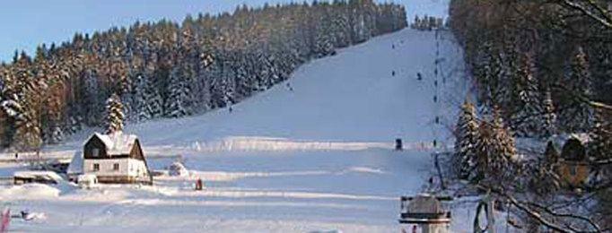
Nowadays, Bublava is famous mostly as a skiing and snowboarding resort.