
Population 1,059 2011 Census) Sovereign state United Kingdom Local time Sunday 3:01 AM | OS grid reference SJ180744 Country Wales Postcode district CH8 Dialling code 01352 Post town Chester | |
 | ||
Weather 4°C, Wind SW at 19 km/h, 85% Humidity | ||
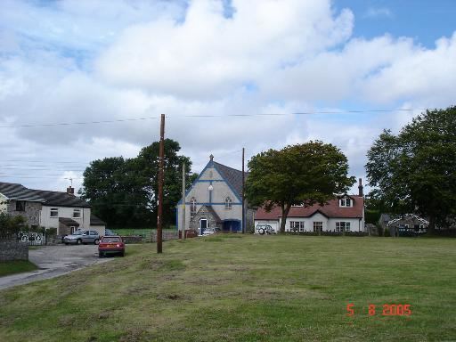
Brynford (Welsh: Brynffordd) is a village in Flintshire, Wales. It is located to the south west of the town of Holywell and near the A55 road (North Wales Expressway). At the 2001 Census, Brynford had a population of 1,098, reducing to 1,059 at the 2011 Census.
Contents
Map of Brynford, UK
Amenities in Brynford include St. Michael's Church, a local village shop, two inns, a park, golf club, private day nursery and local bus company, Oares Coaches. The Cynfaen Memorial Methodist Chapel, serving Brynford, is in the nearby village of Calcoed.
Historically, the area was extensively mined for lead and has been left with the scars of that past all over its common land.
The explorer and journalist Henry Morton Stanley was a student teacher in the old village school.
Governance
An electoral ward of the same name rxists. This ward stretches south east to Halkyn community and had a total population at the 2011 census of 2,153.