
Type Highway | Length 413 km | |
 | ||
West end Newell HighwayBoggabilla East end Pacific HighwayBallina Major cities | ||
Suzuki v strom bruxner highway new south wales australia
The Bruxner Highway is a 420-kilometre (260 mi)state highway located in New South Wales, Australia. The highway forms an east-west link from the Northern Rivers coast, across the Northern Tablelands in northern New South Wales, close to the border with Queensland.
Contents
- Suzuki v strom bruxner highway new south wales australia
- Map of Bruxner Hwy New South Wales Australia
- Route
- References
Map of Bruxner Hwy, New South Wales, Australia
The highway was named on 2 November 1959 in honour of Sir Michael Bruxner, member for Northern Tablelands and Tenterfield from 1920 to 1962, leader of the New South Wales Country Party for almost all that period and Deputy Premier and Minister for Transport from 1932 to 1941.
Route
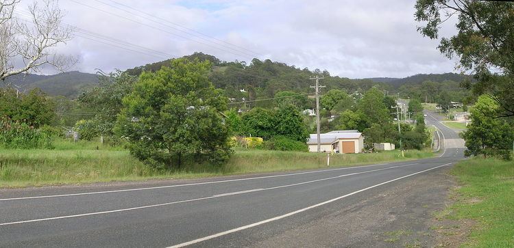
The eastern terminus of the Bruxner Highway is at the junction with the Pacific Highway at Ballina and links Lismore, Casino, Mummulgum, Drake, Tenterfield, Bonshaw and Boggabilla where its western terminus is at a junction with the Newell Highway.
This state based road forms an important link between Ballina and Casino via Lismore. At Alstonville (near Ballina), a $90 million bypass has been allocated from the Federal Government at the cost of funds from the National Highway scheme. There is a proposed dual carriageway between Ballina (Teven Interchange) and Casino which upgrades the Alstonville Bypass and a new alignment from near Wollongbar Tafe and bypasses Goonellabah, Lismore and joins up to the existing Bruxner Highway at Clovass near Casino and dual carriageway until the built up area in Casino. The upgrade will name the route Bruxner Motorway (M60) also known as Northern Rivers Expressway. Further west from Tenterfield and the Bruxner Highway runs parallel and close to the Dumaresq River along with the Queensland border to Goondiwindi via Boggabilla and the Newell Highway.
National Route 44 was only signposted from the Pacific Highway near Ballina to the New England Highway in Tenterfield. It was intended that National Route 44 continued to Boggabilla to meet with the Newell Highway, however primarily because the highway is administered by the local government, as well as a short 4 km unsealed section between Yetman and Boggabilla, which goes against the route numbering protocol to not sign routes on unsealed roads, this part of the highway was never signed as National Route 44.
In 2013, as part of the alphanumeric route scheme, B60 replaced National Route 44 between Ballina and Tenterfield.