
Primary inflows Bridges Temburong Bridge | Type Bay | |
 | ||
Coordinates 5°00'43.44", 115°17'26.66" | ||
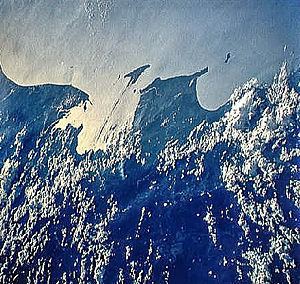
Brunei Bay (Malay: Teluk Brunei) is on the northwestern coast of Borneo island, in Brunei and Malaysia.
Map of Brunei Bay
Brunei Bay is located 5°00'43.44", 115°17'26.66"; east of Bandar Seri Begawan, Brunei.
It is the ocean gateway to the isolated Temburong District of Brunei, separated from the rest of Brunei by the Malaysian Sarawak State surrounding it to the bay.
A new 30-kilometre (19 mi) roadway connecting the Muara and Temburong districts of Brunei is slated to be completed in 2018. Fourteen kilometres (9 mi) of this roadway would be crossing the Brunei Bay.
References
Brunei Bay Wikipedia(Text) CC BY-SA