
Country Canada Postal Code T0B 0R0 Population 71 (2009) | Time zone MST (UTC-7) Elevation 680 m Local time Saturday 3:28 PM | |
 | ||
Weather -13°C, Wind N at 19 km/h, 80% Humidity | ||
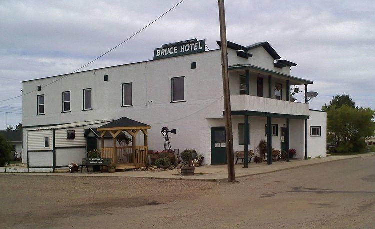
Bruce is a hamlet in Alberta, Canada within Beaver County. It is located along Highway 14 between Viking and Ryley, approximately 115 kilometers (71 mi) east of Edmonton, and has an elevation of 680 meters (2,230 ft).
Contents
Map of Bruce, AB, Canada
The community has the middle name of A. Bruce Smith, a telephony executive.
According to the 2009 Beaver County Census, Bruce had a population of 71. The hamlet is located in census division No. 10 and in the federal riding of Vegreville-Wainwright.
Bruce has held an annual rodeo since 1914, the oldest one day rodeo in Canada.
Demographics
As a designated place in the 2016 Census of Population conducted by Statistics Canada, Bruce recorded a population of 50 living in 31 of its 51 total private dwellings, a change of 2998833000000000000♠−16.7% from its 2011 population of 60. With a land area of 0.86 km2 (0.33 sq mi), it had a population density of 58.1/km2 (150.6/sq mi) in 2016.
Notable residents
Samantha King – Canadian country/blues singer