
Area 13.9 km² | Population (2008) 609 Local time Sunday 2:58 AM | |
 | ||
Weather 6°C, Wind SW at 16 km/h, 86% Humidity | ||
Course sur prairie bru re allichamps 2015
Bruère-Allichamps is a commune in the Cher department in the Centre region of France.
Contents
- Course sur prairie bru re allichamps 2015
- Map of 18200 BruC3A8re Allichamps France
- Geography
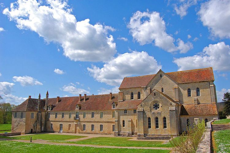
- Sights
- References
Map of 18200 Bru%C3%A8re-Allichamps, France
Geography
An area of forestry, farming and a little light industry comprising the village and a couple of hamlets in the Cher River valley 25 miles (40 km) south of Bourges at the junction of the D2144 with the D92 and D35 roads. The A71 autoroute runs through the northern part of the commune’s territory. The village is one of seven places claiming to be the geographical centre of France.
Sights
References
Bruère-Allichamps Wikipedia(Text) CC BY-SA