
Country United States GNIS feature ID 453144 Area 73.92 km² Local time Saturday 4:24 PM | ZIP codes 47325, 47353 Elevation 241 m Population 845 (2010) | |
 | ||
Weather 4°C, Wind E at 16 km/h, 67% Humidity | ||
Brownsville Township is one of six townships in Union County, Indiana, United States. As of the 2010 census, its population was 845 and it contained 351 housing units.
Contents
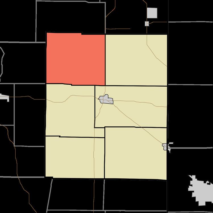
- Map of Brownsville Township IN USA
- Geography
- Unincorporated towns
- Adjacent townships
- Cemeteries
- School districts
- Political districts
- References
Map of Brownsville Township, IN, USA
Geography
According to the 2010 census, the township has a total area of 28.54 square miles (73.9 km2), of which 28.39 square miles (73.5 km2) (or 99.47%) is land and 0.15 square miles (0.39 km2) (or 0.53%) is water.
Unincorporated towns
Adjacent townships
Cemeteries
The township contains these two cemeteries: Richland and Woods Chapel.
School districts
Political districts
References
Brownsville Township, Union County, Indiana Wikipedia(Text) CC BY-SA