
Country United States GNIS feature ID 453397 Area 78.04 km² Population 416 (2010) | ZIP codes 47353, 47374 Elevation 337 m Local time Friday 3:20 AM | |
 | ||
Weather -2°C, Wind SE at 5 km/h, 62% Humidity | ||
Harrison Township is one of six townships in Union County, Indiana, United States. As of the 2010 census, its population was 416 and it contained 182 housing units.
Contents
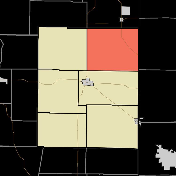
- Map of Harrison Township IN USA
- Geography
- Unincorporated towns
- Cemeteries
- School districts
- Political districts
- References
Map of Harrison Township, IN, USA
Geography
According to the 2010 census, the township has a total area of 30.13 square miles (78.0 km2), of which 30.11 square miles (78.0 km2) (or 99.93%) is land and 0.02 square miles (0.052 km2) (or 0.07%) is water.
Unincorporated towns
Cemeteries
The township contains these two cemeteries: Nutter and Railsback.
School districts
Political districts
References
Harrison Township, Union County, Indiana Wikipedia(Text) CC BY-SA