
Country United States Elevation 320 m Zip code 47353 Population 3,048 (2010) | GNIS feature ID 453194 Area 72.5 km² Local time Tuesday 10:35 AM | |
 | ||
Weather 13°C, Wind S at 23 km/h, 95% Humidity | ||
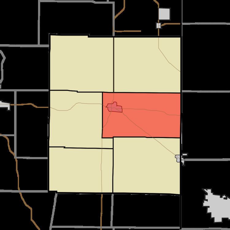
Center Township is one of six townships in Union County, Indiana, United States. As of the 2010 census, its population was 3,048 and it contained 1,330 housing units.
Contents
- Map of Center IN 47353 USA
- Geography
- Cities and towns
- Unincorporated towns
- Cemeteries
- Airports and landing strips
- Landmarks
- School districts
- Political districts
- References
Map of Center, IN 47353, USA
Geography
According to the 2010 census, the township has a total area of 28 square miles (73 km2), of which 27.92 square miles (72.3 km2) (or 99.71%) is land and 0.08 square miles (0.21 km2) (or 0.29%) is water.
Cities and towns
Unincorporated towns
Cemeteries
The township contains these five cemeteries: Calvary, Drook, Pentecost, Sering and West Point.
Airports and landing strips
Landmarks
School districts
Political districts
References
Center Township, Union County, Indiana Wikipedia(Text) CC BY-SA