
Country United States of America | ||
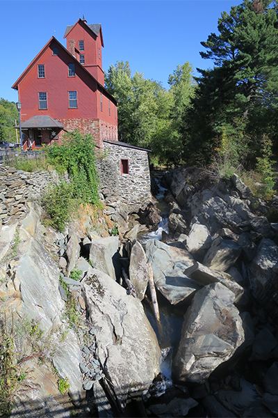 | ||
Bridges Browns River Covered Bridge Similar | ||
For other places named "Browns River," see Browns River (disambiguation).
Map of Browns River, Vermont, USA
The Browns River is an approximately 20-mile (32 km) waterway in northern Vermont. It is a tributary of the Lamoille River.
The mouth of the river is in Fairfax (at 44°39′36″N 73°01′08″W). The source of the river is on the western slopes of Mount Mansfield in Underhill (at 44°32′03″N 72°49′54″W).
The river flows west from Mount Mansfield, through Underhill State Park to the town of Jericho. Continuing west, it enters the town of Essex and turns north near the village of Essex Center. It passes through the town of Westford and reaches its mouth in the southwestern corner of the town of Fairfax, where it empties into the Lamoille River.
References
Browns River (Vermont) Wikipedia(Text) CC BY-SA