
Elevation 1,375 m (4,511 ft) Area 70.76 km² Local time Saturday 7:26 AM | Established 1905 Postal code (street) 1020 Area code 013 | |
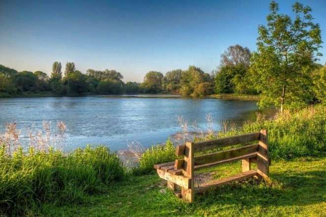 | ||
Weather 17°C, Wind SE at 5 km/h, 93% Humidity Points of interest Nan Hua Temple, Anton Smit Sculpture Park, Bonamanzi Resort | ||
Mooiloop 4 episode 3 bronkhorstspruit
Bronkhorstspruit is a town 50 km east of Pretoria, Gauteng, South Africa along the N4 highway towards Witbank. It lies on the border between the Gauteng and Mpumalanga provinces. It also consists of three townships called Zithobeni, Rethabiseng and Ekangala.
Contents
- Mooiloop 4 episode 3 bronkhorstspruit
- Map of Bronkhorstspruit South Africa
- Bronkhorstspruit residents demand to see tshwane mayor
- History
- Places of interest
- References
Map of Bronkhorstspruit, South Africa
On 18 May 2011 Tshwane Metropolitan Municipality took over the municipal administration from Kungwini Local Municipality.
Bronkhorstspruit residents demand to see tshwane mayor
History
In 1858, a group of Voortrekkers settled in the Bronkhorstspruit creek, which was originally called Kalkoenkransrivier ('Turkey Cliff River'). In June 1897, the South African Republic gave its approval for the town, then already named Bronkhorstspruit by locals after the Bronkhorstspruit River.
In 1880 it was the scene of the action at Bronkhorstspruit, an important event in the early days of the First Boer War.
There is disagreement about where the town got its name from. Some believe it was named after the farmer JG Bronkhorst, while others say that it was named after the plant, bronkors (Afrikaans for watercress), that grew in the region of the creek.
Places of interest
Cultura Park, a suburb of Bronkhorstspruit, hosts the largest Buddhist temple in the Southern Hemisphere. Nan Hua Temple houses the South African theadquarters of the Humanistic Buddhist order.