
- elevation 604 m (1,982 ft) - elevation 6 m (20 ft) | ||
 | ||
- right Green Creek (New South Wales), Robinsons Creek, Yankees Creek, Nelson Creek, House Creek (New South Wales), Double Creek Similar Bournda National Park, Wallaga Lake National, Brogo Dam, Conjola National Park, Mimosa Rocks National | ||
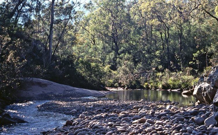
Brogo River, a perennial river that is part of the Bega River catchment, is located in the South Coast region of New South Wales, Australia.
Contents
Map of Brogo River, New South Wales, Australia
Course and features
Brogo River rises below the Wadbilliga Range, that is part of the Great Dividing Range, within the Wadbilliga National Park, 15 kilometres (9.3 mi) west of Cobargo and flows generally southeast, joined by eight minor tributaries, before reaching its confluence with the Bega River near Bega. The river descends 600 metres (2,000 ft) over its 80 kilometres (50 mi) course.
At an elevation of 112 metres (367 ft) AHD , Brogo River is impounded by Brogo Dam to form Brogo Reservoir, a reservoir with a capacity of 8,980 megalitres (317×10^6 cu ft), that is used for environmental flows, hydro-power generation, irrigation, and water supply.
West of Mumbulla Mountain and within Brogo Pass, the Princess Highway crosses the Brogo River.