
Existed: 1958 – present Constructed 1958 | Length 321 km | |
 | ||
South end: US 93 at Canada–US border North end: Alberta border at Vermilion Passcontinues as Hwy 93 | ||
Highway 93 is a north–south route through the southeastern part of British Columbia, in the Regional District of East Kootenay and takes its number from U.S. Highway 93 that it connects with at the Canada-U.S. border. It follows the Crowsnest Highway (Highway 3) and Highway 95 through Radium Hot Springs and to where it crosses the Continental Divide into Alberta at Vermilion Pass, where it continues as Alberta Highway 93. The section between the Canada-U.S. border and the Crowsnest Highway is known as the Elko–Roosville Highway, the section between the the Crowsnest Highway and Radium Hot Springs is known as the Kootenay–Columbia Highway, while the section east of Radium Hot Srings is known as the Banff–Windermere Parkway.
Contents
Map of BC-93, British Columbia, Canada
Route details
From the international border crossing at Roosville, the 321 km (199 mi) long Highway 93 parallels the eastern shore of Lake Koocanusa for 36 km (22 mi) to where it meets the Crowsnest Highway (Highway 3) at Elko. Highway 3 carries Highway 93 west for 53 km (33 mi) to where it is handed off to Highway 95 just south of Fort Steele. Highway 95 carries Highway 93 north for another 134 km (83 mi) along the Kootenay River and the Columbia River passing through Wasa, Canal Flats, Fairmont Hot Springs and Invermere to Radium Hot Springs, where Highway 95 diverges north towards Golden.
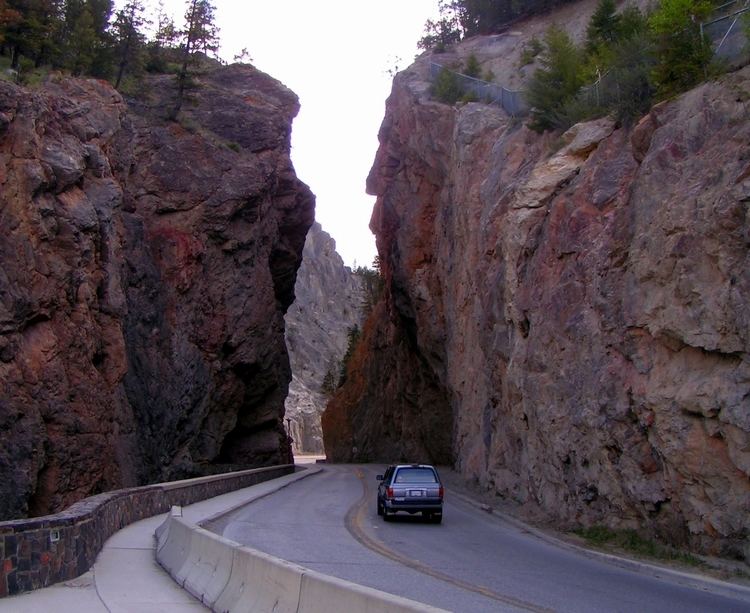
Highway 93 leaves the concurrence and proceeds east from Radium Hot Springs for about 1 km (1⁄2 mi) to the western gate of Kootenay National Park. Through the park, the highway travels northeast along the Kootenay and Vermilion rivers for 93 km (58 mi) to Vermilion Pass and the Alberta border, where it is continues as Alberta Highway 93. After crossing the border, the highway continues for another 11 km (7 mi) to meet the Trans-Canada Highway (Alberta Highway 1) near Castle Junction.
History
The Highway first opened in 1953 from the international border to Elko, on Highway 3, but it did not follow its current route from the border until 1958. Before 1959, the Banff–Windermere Parkway, the segment of Highway 93 east of Radium Hot Springs, had a designation of Highway 1B, reflecting its connection to the Trans-Canada Highway within Alberta at Castle Junction. In 1959, Highway 93 was extended from Elko along Highway 3 and Highway 95 to Radium Hot Springs, while Highway 1B and the Icefields Parkway (known as Highway 1A were renumbered to their present designation.
Major intersections
From west to east: