
Existed: 1958 – present Length 11.4 km Province British Columbia | North end: BC 1 in Langley Constructed 1958 | |
 | ||
South end: SR 539 at the United States border | ||
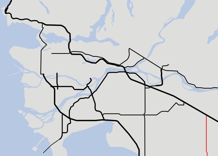
Highway 13 is an 11.4 km (7.1 mi) long two-lane route through the eastern part of Langley, British Columbia. Highway 13 essentially serves the function of quick access from Washington state to the central Fraser Valley, and vice versa. Highway 13 first opened in 1958 between the Canada/United States border and the present day Highway 1A, and was extended north to the present day Highway 1 in 1968.
Contents
Map of BC-13, Langley, BC, Canada
Route details
Highway 13 begins in the south at its connection to Washington State Route 539 at the international border, and follows 264th Street north for 7 km (4 mi) to its junction with Highway 1A at Aldergrove. Past Highway 1A, Highway 13 goes north for 5 more km (3 mi) to end at an interchange with Highway 1.
References
British Columbia Highway 13 Wikipedia(Text) CC BY-SA