
Existed: 1958 – present Length 17 km Province British Columbia | Constructed 1958 | |
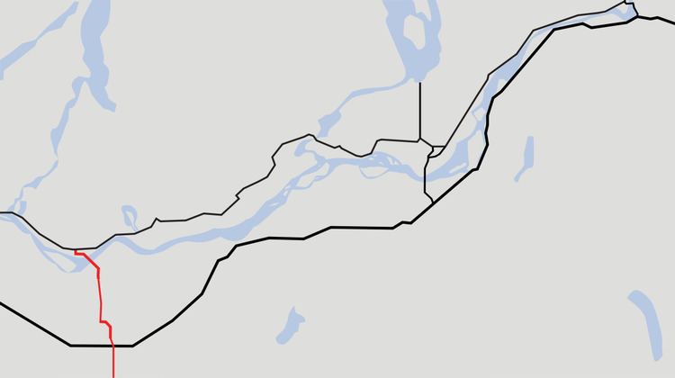 | ||
South end: SR 9 at the Canada–US border | ||
Highway 11, known locally as the Abbotsford-Mission Highway, is a 17 km (11 mi) long at-grade expressway (With the southernmost part of the highway two lanes) that literally cuts the Fraser Valley in half. The highway was first given the '11' designation in 1958, and it originally followed South Fraser Way through Abbotsford, being re-routed onto the four-lane Sumas Way in the mid-1980s. Highway 11 originally entered Mission over the same bridge that carries a spur of the Canadian Pacific Railway across the Fraser River, but it was re-routed onto its own bridge, the Mission Bridge, in 1973.
Contents
Map of BC-11, Abbotsford, BC, Canada
Route details
In the south, Highway 11 begins at the Huntingdon Canada–US border crossing, where it connects with Washington State Route 9. The highway goes north for 3 km (2 mi) to its junction with Highway 1. North of Highway 1, the route travels 4 km (2½ mi) north, passing through two interchanges, before arriving at an intersection with Gladys Road. Highway 11 is facing west at this point, so it turns right onto its own dedicated route. Highway 11 from this point proceeds north for 10 km (6 mi). It passes through the community of Matsqui and an interchange into Matsqui's centre, then crosses the Fraser River over the Mission Bridge into Mission, where it terminates at its junction with Highway 7.
Major intersections
The entirely of the route is in the Fraser Valley Regional District.