
Country United States County Addison Time zone Eastern (EST) (UTC-5) Elevation 174 m Population 2,030 (2010) | ZIP code 05443 Area 5.58 km² | |
 | ||
Weather -6°C, Wind N at 14 km/h, 29% Humidity | ||
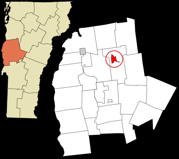
Bristol is the main settlement in the town of Bristol in Addison County, Vermont, United States, and a census-designated place (CDP). The population was 2,030 at the 2010 census, out of a total population of 3,894 in the town of Bristol.
Geography
The Bristol CDP is located in the northwest part of the town of Bristol, on the north side of the New Haven River as it exits the Green Mountains to the east. Vermont Route 17 passes through the community, leading west 5 miles (8 km) to U.S. Route 7 at New Haven Junction and east across the Green Mountains through Appalachian Gap 20 miles (32 km) to Waitsfield. Vermont Route 116 runs with VT 17 through Bristol but leads north 8 miles (13 km) to Starksboro and south 12 miles (19 km) to East Middlebury.
According to the United States Census Bureau, the Bristol CDP has a total area of 2.15 square miles (5.58 km2), of which 2.13 square miles (5.51 km2) is land and 0.03 square miles (0.07 km2), or 1.24%, is water.