
OS grid reference TR182542 Sovereign state United Kingdom Local time Friday 10:47 AM | Civil parish Bridge Area 4.08 km² Dialling code 01227 | |
 | ||
Population 1,576 (Civil Parish 2011) Weather 7°C, Wind SE at 23 km/h, 93% Humidity | ||
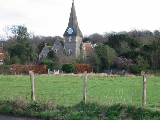
Bridge is a village and civil parish near Canterbury in Kent, South East England.
Contents
Map of Bridge, UK
Bridge village is in the Nailbourne valley in a rural setting on the old Roman road, Watling Street, formerly the main road between London and Dover. The village itself is centred 2.5 miles south-east of the city of Canterbury.
History
It is likely that the parish took its name from "Bregge" a bridge which crossed the river Nailbourne, a tributary of the Stour.
Geography
The village is surrounded by a buffer zone, is almost entirely residential and agricultural and is in its layout a cross between a linear settlement and a clustered settlement.
Amenities
Bourne Park is a Queen Anne mansion with lake, occasionally open to the public, its façade and structure dates mostly to 1702.
References
Bridge, Kent Wikipedia(Text) CC BY-SA