
Quadrant NW Sector West Area 56 ha | Ward 1 Elevation 698 m Population 1,911 (2012) | |
 | ||
Breckenridge Greens is a residential neighbourhood in west Edmonton, Alberta, Canada. Development of the neighbourhood is comparatively recent, with most residential construction occurring during the 1990s according to the 2001 federal census.
Contents
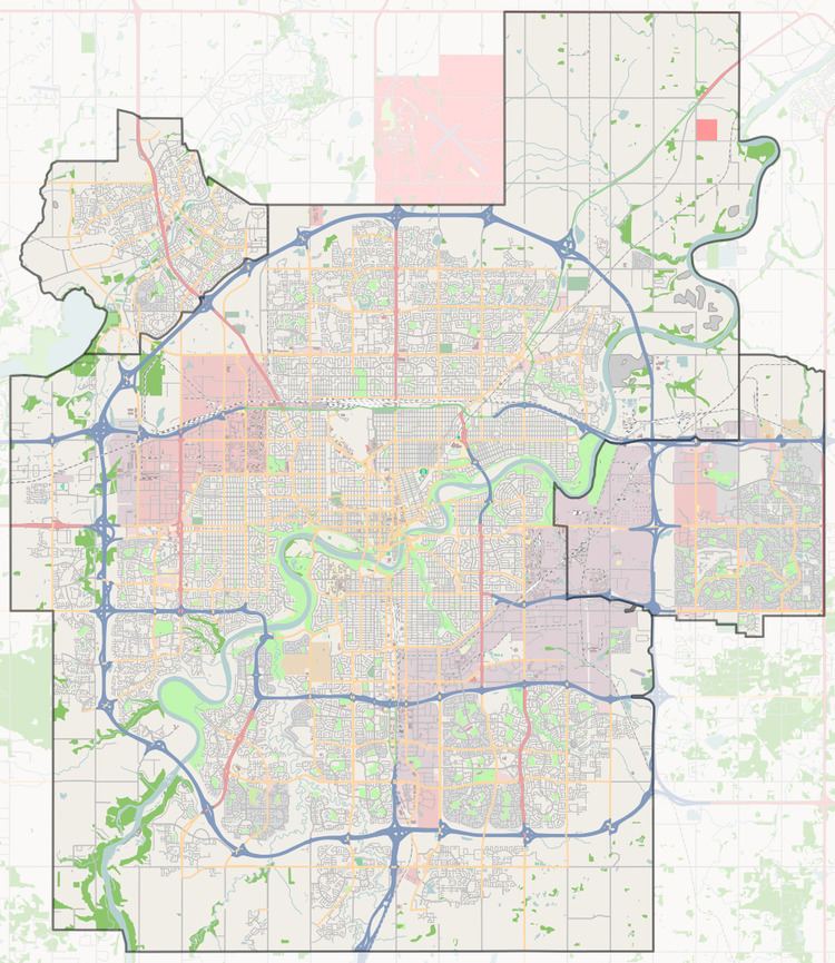
Map of Breckenridge Greens, Edmonton, AB, Canada
The most common type of residence, according to the 2005 municipal census, is the single-family dwelling. Single-family dwellings constitute four out of five (81%) of all residences in the neighbourhood. The remaining 19% are apartment style condominiums in low rise buildings with fewer than five stories. Virtually all residences are owner occupied.
The neighbourhood is bounded on the south by Whitemud Drive, on the west by Winterburn Road, on the north by Suder Green Drive, and on the east by Lewis Estates Boulevard.
Demographics
In the City of Edmonton's 2012 municipal census, Breckenridge Greens had a population of 7003191100000000000♠1,911 living in 7002773000000000000♠773 dwellings, a -0.6% change from its 2009 population of 7003192200000000000♠1,922. With a land area of 0.56 km2 (0.22 sq mi), it had a population density of 7003341250000000000♠3,412.5 people/km2 in 2012.
Surrounding neighbourhoods
I