
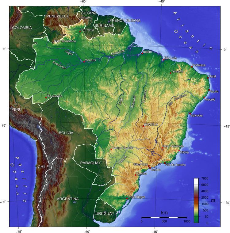
- elevation 2,891 m (9,485 ft) | Area 5 million km² | |
 | ||
Brazilian highlands
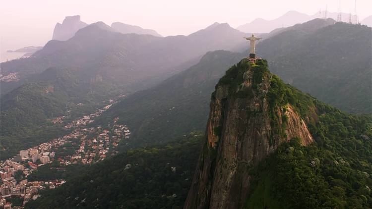
The Brazilian Highlands or Brazilian Plateau (Portuguese: Planalto Brasileiro) are an extensive geographical region, covering most of the eastern, southern and central portions of Brazil, in all approximately half of the country's land area, or some 4,500,000 km² (1,930,511 sq mi). In addition, the vast majority of Brazil's population (190,755,799; 2010 census) lives in the highlands or on the narrow coastal region immediately adjacent to it.
Contents
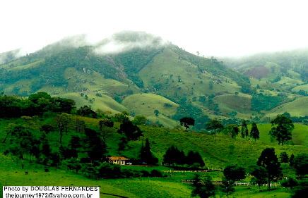
Ancient basaltic lava flows gave birth to much of the region. However, the time of dramatic geophysical activity is long past, as there is now no seismic or volcanic activity. Erosion has also played a large part in shaping the Highlands, forming extensive sedimentary deposits and wearing down the mountains.
The Brazilian Highlands are recognized for the great diversity to be found there: within the region there are several different biomes, vastly different climatic conditions, many types of soil, and thousands of animal and plant species.
Brazilian highlands
Major divisions
Due to their size and diversity, the Brazilian Highlands are usually divided into three main areas:
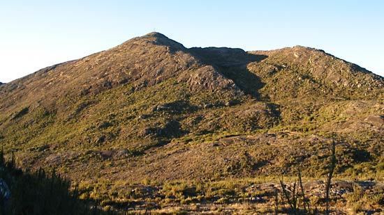
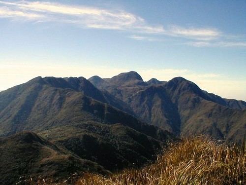
In addition to the plateau regions, several adjoining or enclosed mountain ranges are considered to be part of the Brazilian Highlands. Some of the most important are (from north to south):
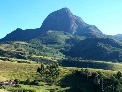
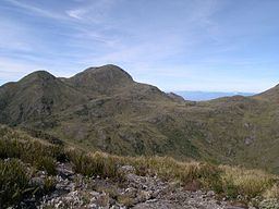
The highest point of the Brazilian Highlands is the Pico da Bandeira in the Serra do Caparaó, 2,891 meters (9,485 ft).