
Highest point Morro da Boa Vista | ||
 | ||
Mountains Morro da Igreja, Morro da Boa Vista | ||
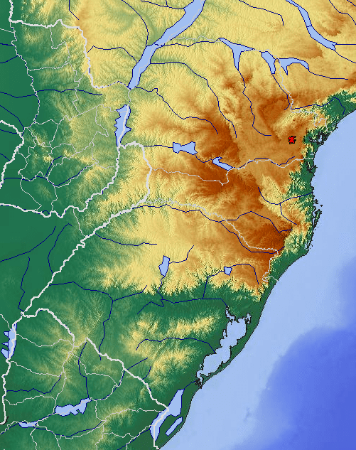
The Serra Geral is a mountain range in southern Brazil, constituting the southern portion of the Serra do Mar system which runs along Brazil's southeastern coast. The Serra Geral runs parallel to the Atlantic coast in Santa Catarina and northern Rio Grande do Sul states, separating a narrow coastal plain from an interior plateau. The coastal plain is characterized by short rivers and frequent lagoons and bays, and lies within the humid tropical Serra do Mar coastal forests ecoregion.
Map of Serra Geral, Praia Grande - State of Santa Catarina, Brazil
The plateau to the west of the range is drained by tributaries of the Uruguay River, including the Pelotas and Canoas, and by the Jacuí River and its tributaries, which drains south into the Lagoa dos Patos of Rio Grande do Sul. The plateau is home to the subtropical Araucaria moist forests.
The Serra Geral is home to Aparados da Serra National Park and Serra Geral National Park, which are notable for their enormous canyons.